Corno Birone, from San Martino


Edited by:
Marco Bonati
Updated at: 15/05/2026
Access
From Milan to Valmadrera along State Road 36; through the streets of the town centre, head for the visible church of San Martino (identifiable by a monumental tree-lined Via Crucis). There is ample parking nearby.
Introduction
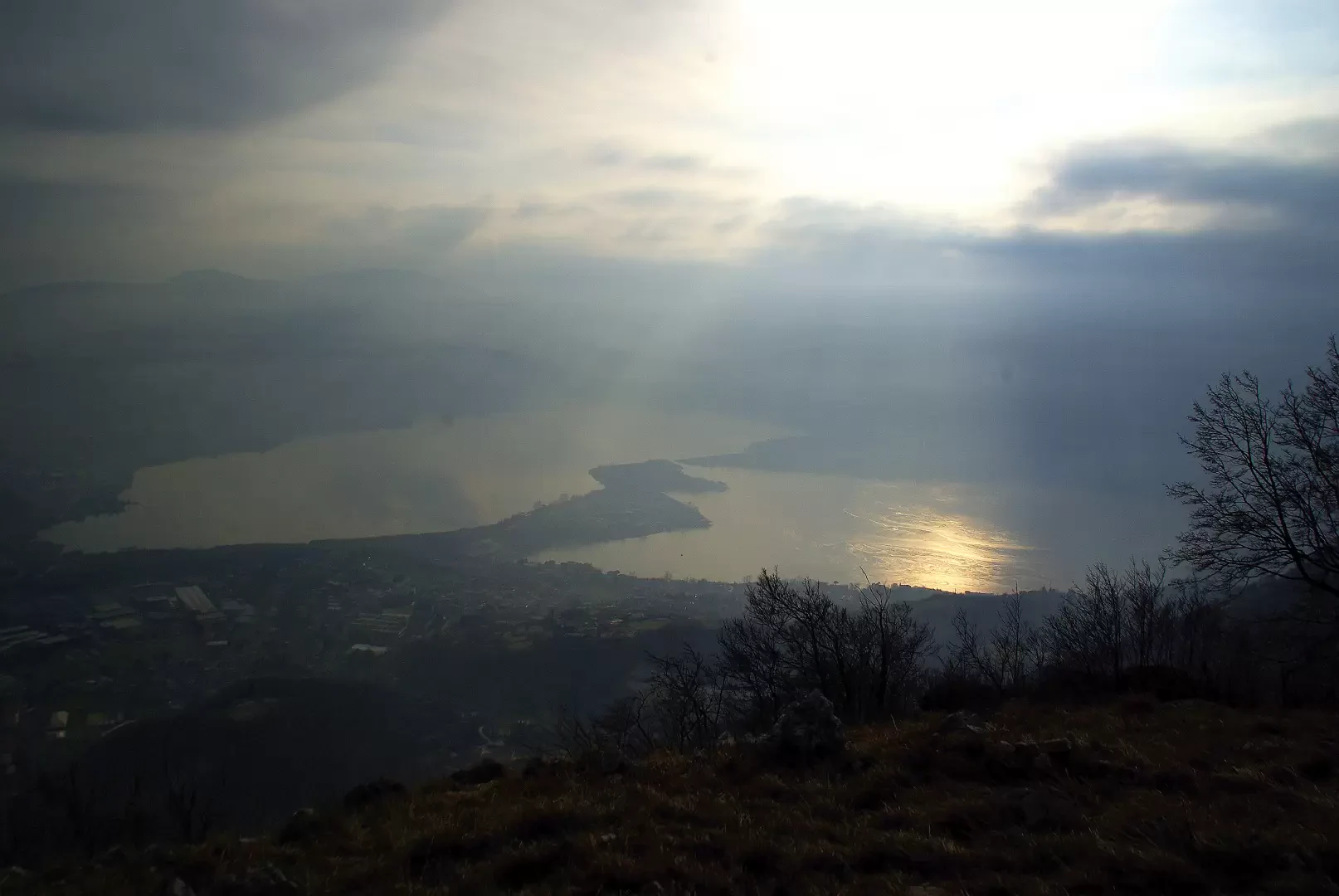
This is a non-trivial excursion, which can be done all year round (but is prohibitive in the hot months due to the exposure and altitude), and which allows you to reach the culminating point of a rocky shovel dominating the villages of Civate and Valmadrera. We follow wild paths among erratic boulders and steep gullies, looking for the best route between the rocky cusps. The descent is through a wooded valley (long icy stretches in winter!) to the picturesque San Tomaso shelf. Possible encounters with herds of mouflon.
.Description
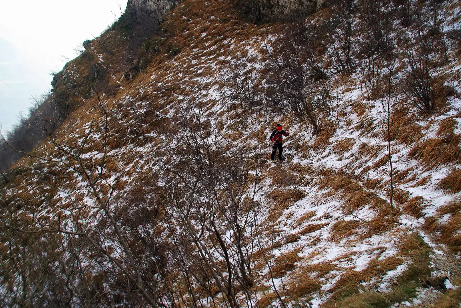
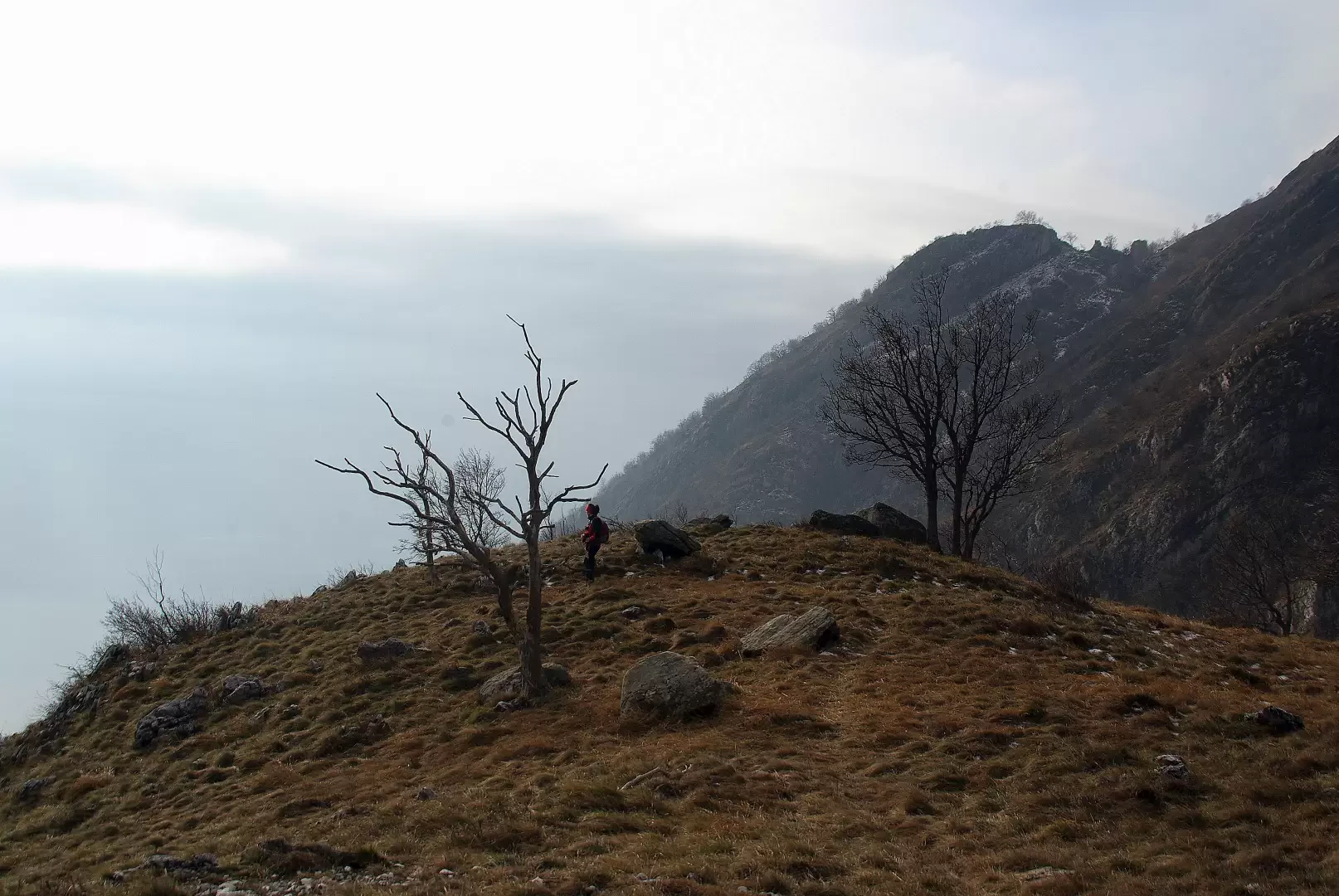
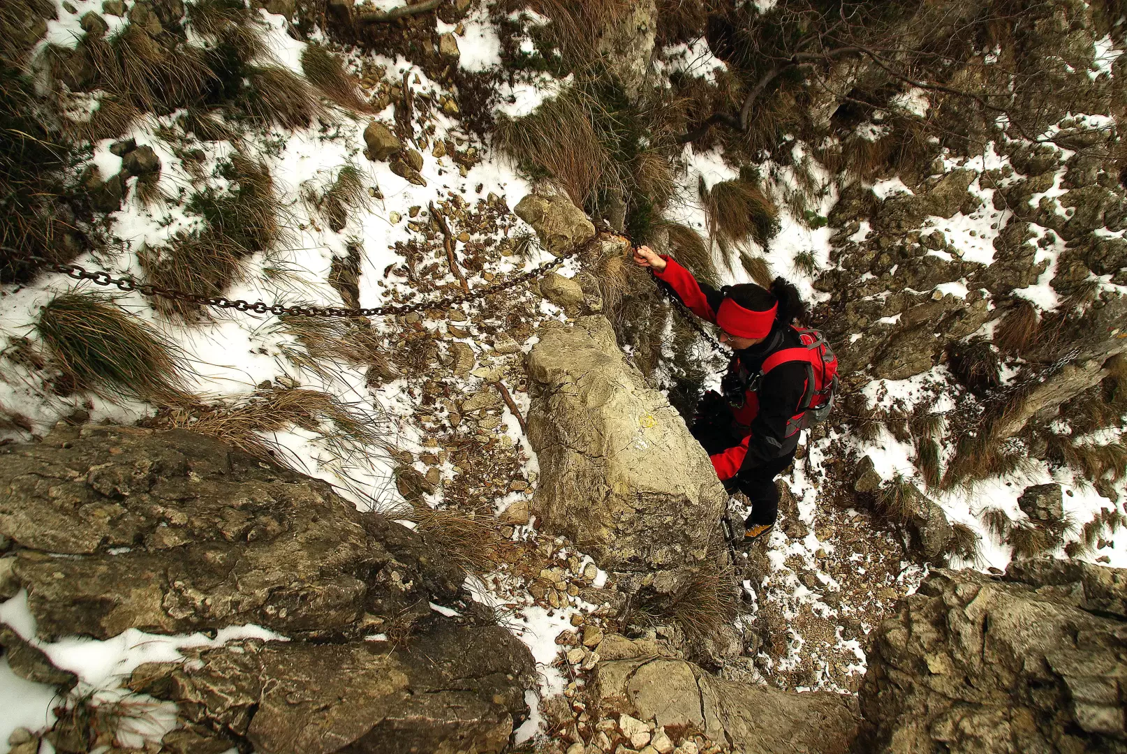
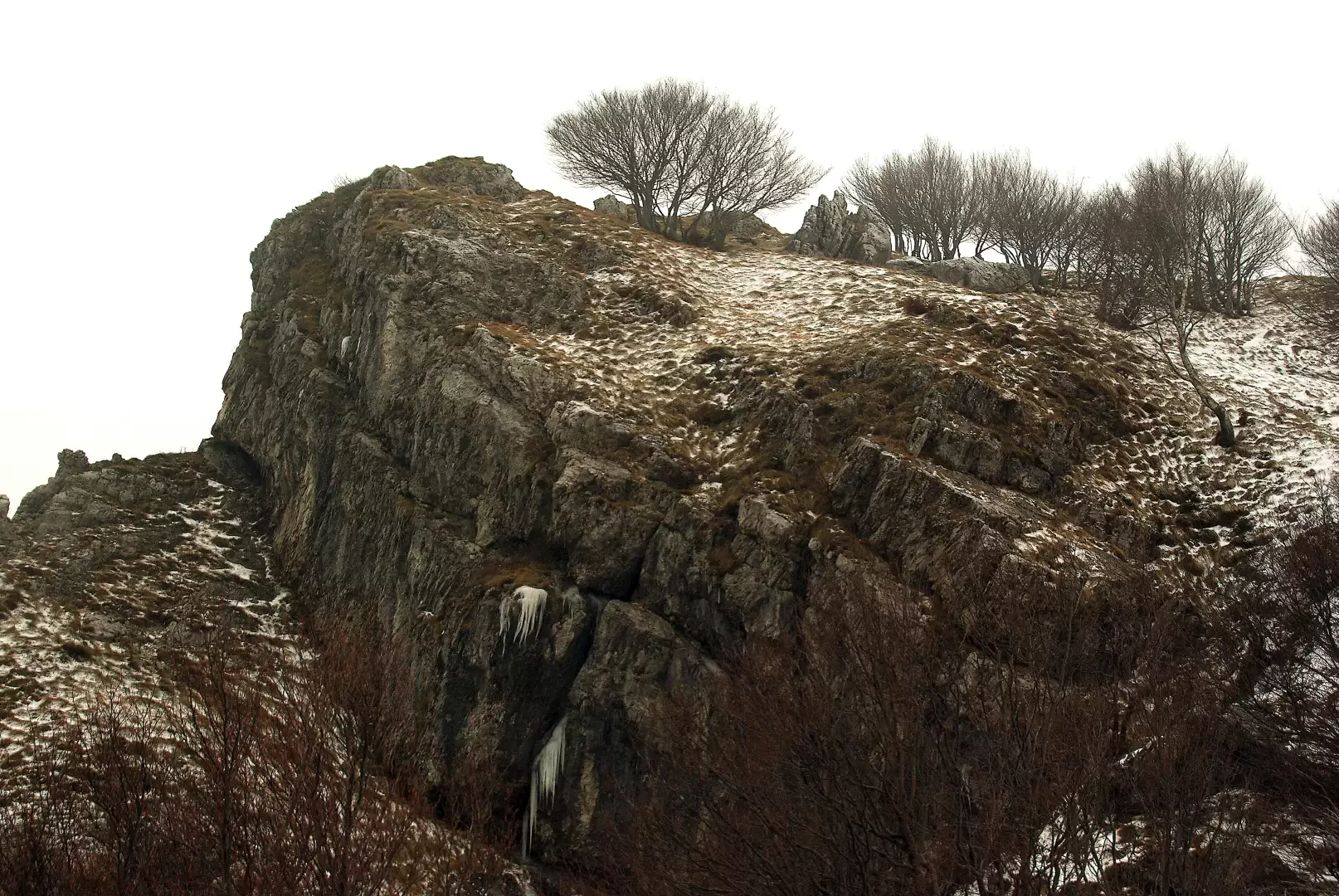
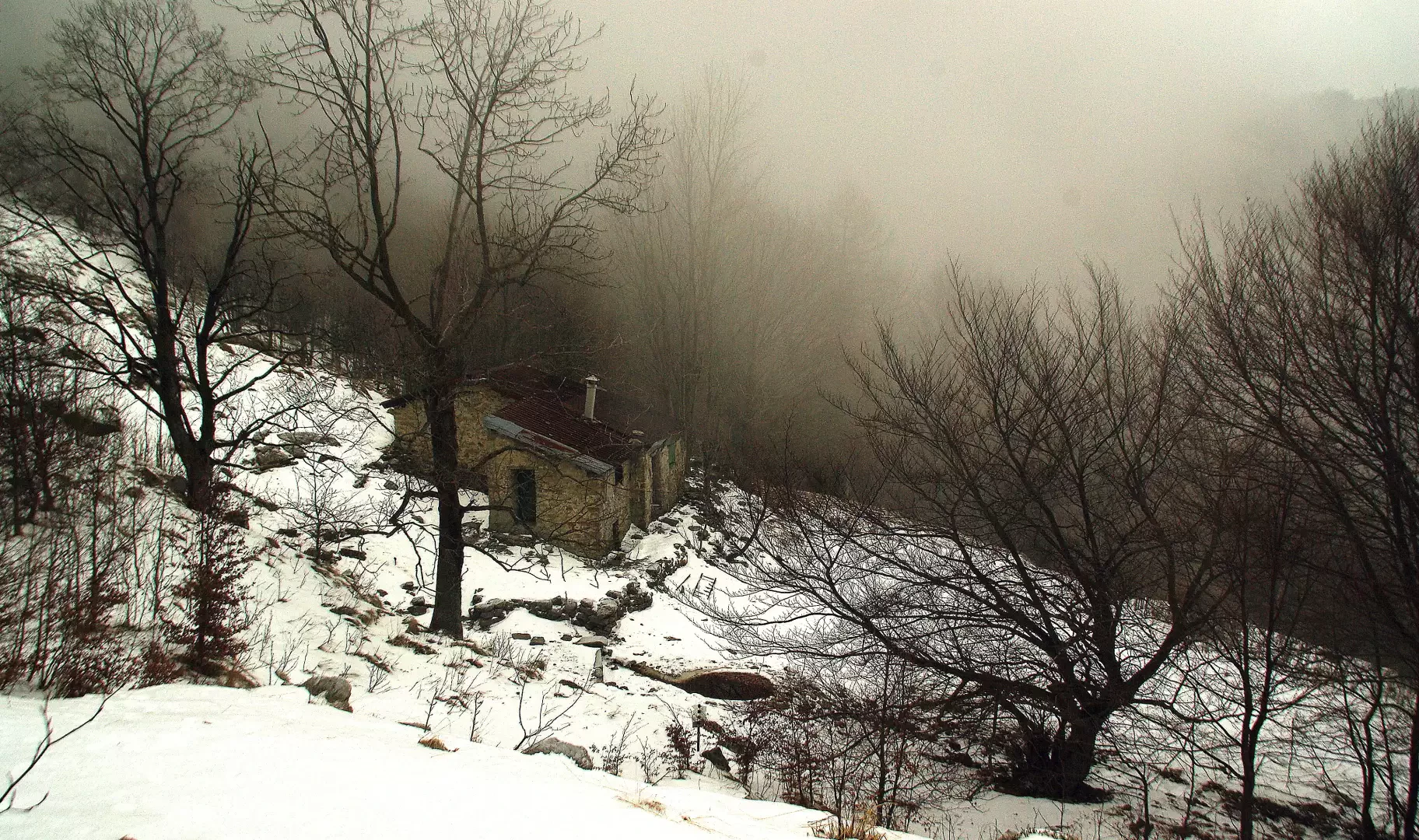
From the forecourt, begin to climb up the cobbled avenue in the direction of the church; after a few dozen metres, a marker indicates to the left the direction of our path. First on the level and then - on a less evident track - uphill among old abandoned terraces, we reach the eastern edge of a secondary gully; we ascend it on a good track (coming from the hamlet of Trebbia - another starting point, but with no parking space) until we come to Sass Negher, a large erratic boulder of dark serpentine from Valmalenco. The trail continues upstream of the boulder, crossing the valley and continuing on the opposite steep slope to the pulpit of Ceppo della Forcola 796m (junction of several trails). From here, the ascent continues, looking for the best passage between the ledges and rocky outcrops at the base of the Corno's culminating wall; gradually moving westwards (section equipped with handrail chain) until reaching the final slope, less inclined and a little grassy, which precedes the summit cross of Corno Birone 1116m. Continue along the northern ridge (do NOT take the path that descends immediately to the east: impassable in winter!) to the wooded culminating rocks of Bevesco (eastern shoulder of Monte Rai 1259m). We descend the wide pastures, gradually bringing us to the bottom of the Molinata valley, at Ca' Rotta 1091m, where an easy path begins through the beech forest (long icy stretches in winter!) that descends to the San Tomaso plateau 580m (refreshment point). Just downstream of the church begins a new path that descends in steep bends through the forest, reaching the hamlet of Ceppo; a bridge and - on the other side - a steep flight of steps soon lead to the path of the St. Martin's Way of the Cross, a short distance from the starting point.
Photo gallery
Comments (0)
Sign in to leave a comment