Northern Grigna - Piancaformia Ridge

Edited by:
Rita Tarussello
Introduction
Description
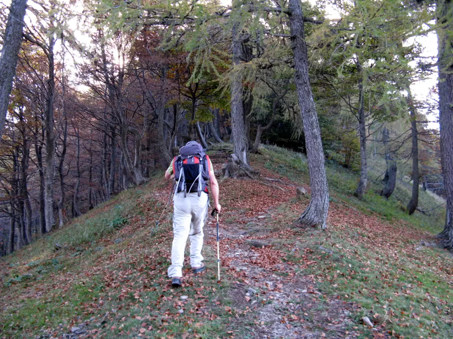
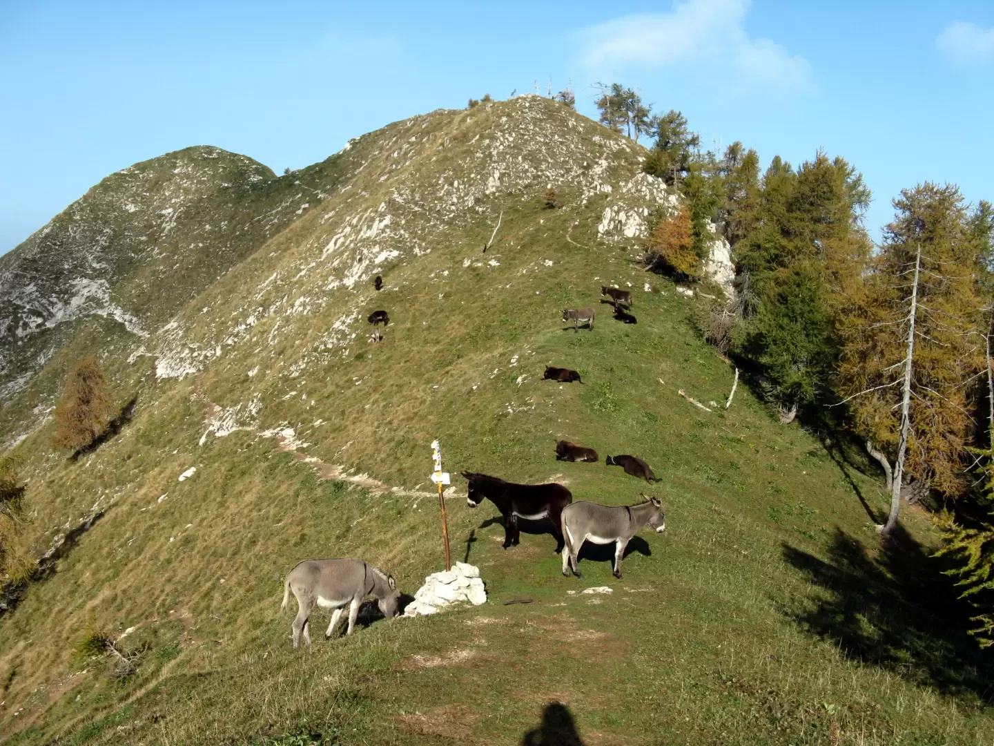
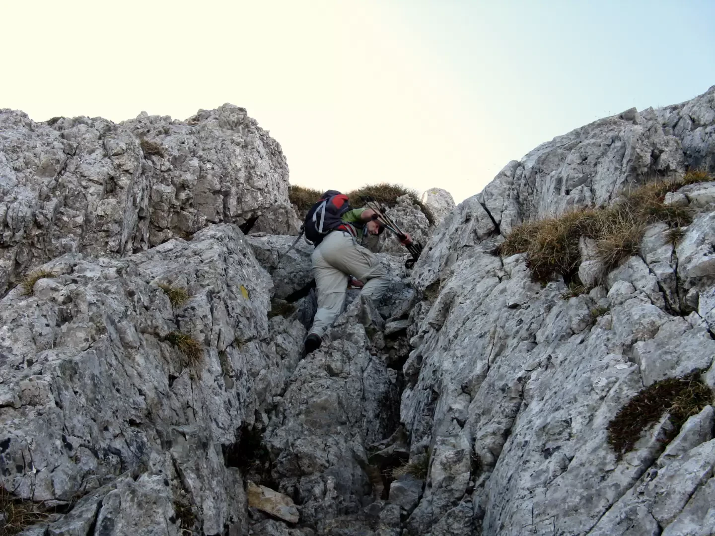
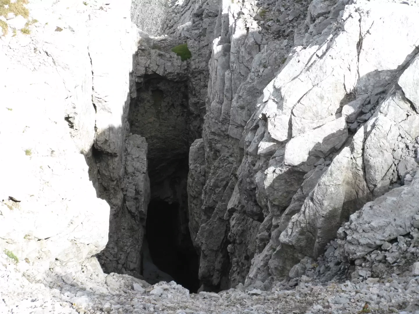
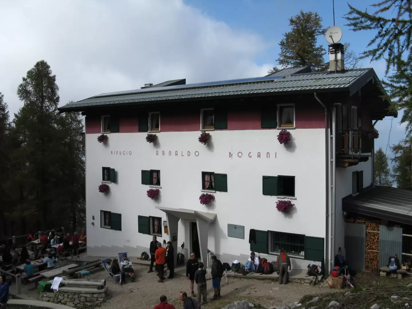
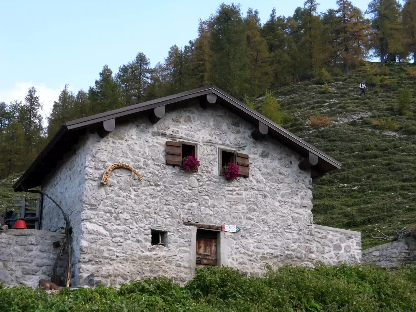
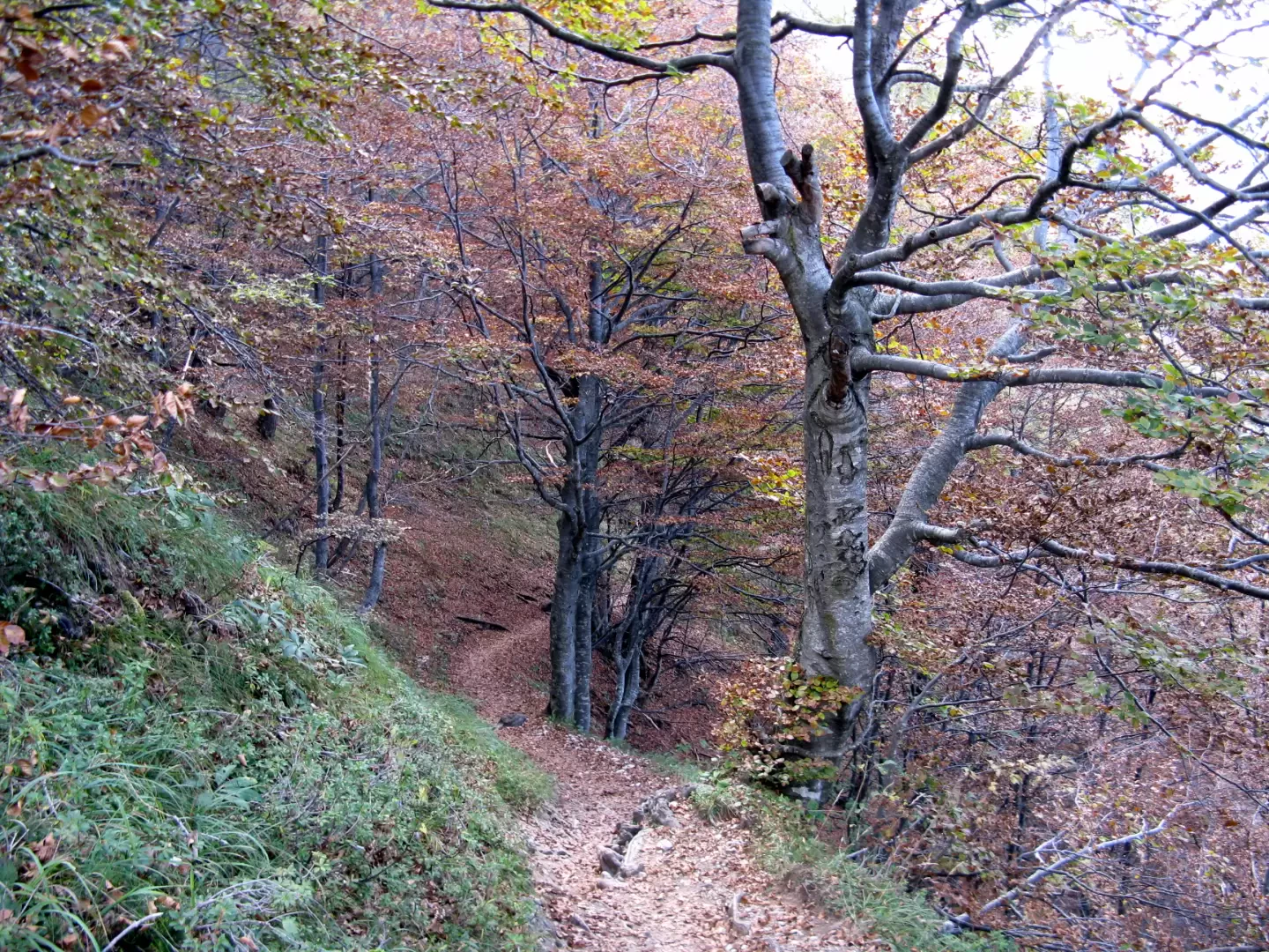
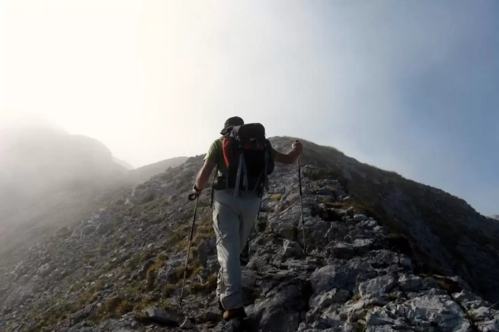
From the meadow, the signposts with the various routes are clearly visible: no. 24 for the Bietti refuge, no. 25 for the Bogani refuge and no. 19 for the Cresta di Piancaformia. The path climbs steeply into the forest. It opens out shortly afterwards at a small altar with a madonnina, from which the northern slope of the Grigna Settentrionale is visible. It then continues with moderate ups and downs and meets a crossroads from which the path for the Bogani hut branches off to the left. Take the path on the right that climbs steeply for fifty metres to the end of the wood and comes out at the Belvedere della Bocchetta di Prada (1626 m) with wide views of Val d'Era and Lake Como. A small chapel in a shady position is clearly visible on the left. This is the starting point of path no. 19, which runs along the beautiful ridge of Piancaformia. One enters the larch forest and soon ascends steeply along the ridge, from which, on the right, one can admire the steep western slope with its limestone pinnacles and, on the left, the eastern slope covered with beeches and larches, which in autumn are coloured in warm shades. Further on, a half-steep path leads to the Bocchetta di Piancaformia (1805 m), beyond which one begins to ascend sections of steep path interspersed with rock passages that do not present any particular technical difficulties, but which are sometimes exposed and must therefore be approached with care. We thus climb over the Cima di Piancaformia (2105 m) and then a downhill section leads to the notch of the Bocchetta del Guzzi (2095 m), the arrival point of the via Guzzi coming from the Bietti hut, visible below on the right. Climb up the rocks again and then go left from the ridge along a delicate passage halfway up, exposed but on solid rock. The track returns to the ridge and to a subsequent notch from which you descend to the left, reaching path no. 25 (via della Ganda) coming from the Bogani hut. The ascent of some sloping slabs is facilitated by cables; subsequently the terrain becomes stony and climbs steeply up to the rocks below the summit. Here a chain accompanies the path to its end, on a level where there is a small church and the Brioschi hut (2409 m). The summit cross is positioned immediately above the hut. If the day is clear, a large part of the Alpine chain is visible, from the Cottian Alps to the Disgrazia group. To the south in the foreground is the Traversata Alta, which leads to the summit of the Grigna Meridionale, to the west the pinnacles of the western slope and stretches of Lake Como. For the descent, follow the equipped section already covered on the ascent and, leaving the fork coming from the Piancaformia ridge, continue on path no. 25, which, with a less steep, stony descent at first and then between meadows and rocks, leads to the Bogani hut (1822 m), set in a magnificent position in a sparse larch wood and limestone outcrops. On the way just after the ropes, you can see the numerous dolines and sinkholes formed in this karstic environment. These are marked by signs and are in any case clearly visible during the summer season, but in the winter period the area is very dangerous and it is necessary to follow the winter route marked by iron poles placed a short distance apart. Leaving the Bogani hut, we continue through woods and meadows until we reach a beautiful stone mountain pasture (Alpe di Moncodeno) beyond which we continue to descend until the path becomes almost flat and runs along the eastern flank of the mountain to find, after an ascent of 70 metres, the junction we left on the way up. After about 20 minutes you reach the car park.
.Galleria fotografica