Fort St Helena


Edited by:
Maurizio Loconti
Updated at: 03/11/2025
Access
You exit the Savona tollgate and immediately turn right towards Vado until, after a couple of tunnels, you reach the sea. A diversion takes you back up the road and after a hairpin bend you can park, paying attention to the fact that (free) parking is often restricted at certain times.
Introduction
After having previously seen the left branch of the botanical trail (plant species markers are evident along the way), this time we retrace part of the right one...
Description
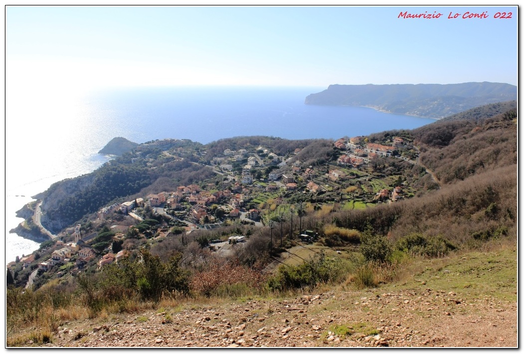
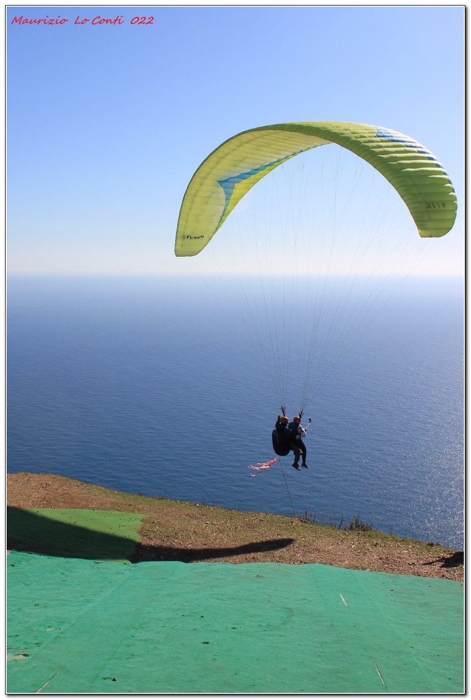
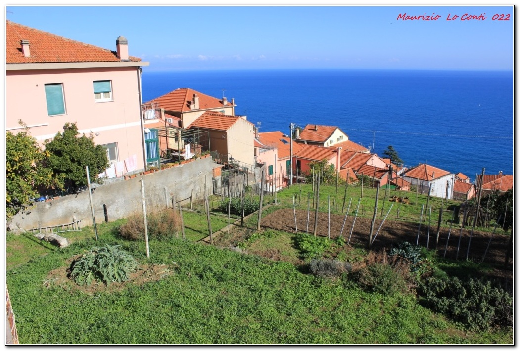
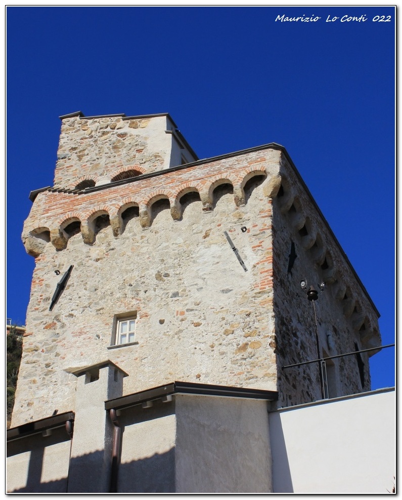
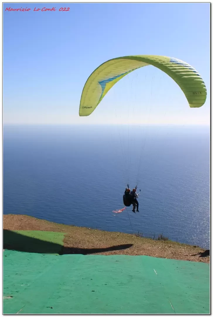
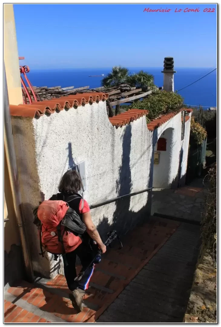
On foot (90 m), continue to a second sharp bend where you proceed straight ahead. From an information board, climb to the left.... You enter the forest, somewhat steeply, until you reach a dirt track (which you do not take) where you keep to the left on a path. One rises in altitude, passing the asphalt road and an aqueduct building. You come out of the vegetation, coming out onto the paragliding take-off area (300 m). We turn right to see if the ruins of Fort S. Elena are worthwhile, but there is hardly anything there. Back on the main route, you lose metres until you reach a point where the track suddenly bends to the right steeply uphill. We proceed through dense woodland until we come to a dirt track. To the right, at 2', is a partisan memorial stone. The wide track to be taken goes to the left and when it ends a small path descends to the road from the Gola di S. Elena (240 m). On the left, from the remains of a gate, one regains a little altitude by skirting a memorial dedicated to the victims of a bombing in 1944. In a moment, you turn right downhill at 270 degrees. At a further crossroads, you slope left to join the tarmac. You keep to the left for a few metres and then turn right (another bend, almost 360 degrees). Beyond a house, a lane descends to the left, passing the first wash-house. The descent is wilder before becoming normal again and ending at a second wash-house. The path descends and ends at the church of S. Martino. Just below is a third wash-house, the Torre Rovere and the car.
In summary. Dif. T/E - height difference +300 m - 6 km x approx. 2h30h total + all the breaks to see the various places. Walking comfort: sufficient. Best period: from autumn to spring. Weather: fine. Tour interest: medium/high
and if you want, here's the pdf photo file, with some other news:
http://cralgalliera.altervista.org/SecondoAnelloBergeggi022.pdf
... and also some single shots:
http://cralgalliera.altervista.org/2202F1PanoramaBergeggi.jpg
http://cralgalliera.altervista.org/2202F2Decollo.jpg
http://cralgalliera.altervista.org/2202F3Discesa.jpg
http://cralgalliera.altervista.org/2202F4VerdeAzzurroBergeggi.jpg
http://cralgalliera.altervista.org/2202F5TorreRovereXVSec.jpg
http://www.cralgalliera.altervista.org/anno2022.htm
http://www.cralgalliera.altervista.org/altre2022.htm
NB: in the case of an excursion, always check with FIE, Cai, any park authorities or other institutions, pro loco, etc, that there have been no changes that have increased the difficulties! No liability is accepted. The present text is purely indicative and not exhaustive.
Info Hiking Section Cral Galliera: http://www.cralgalliera.altervista.org/esc.htm
Trips 2022 at link: http://www.cralgalliera.altervista.org/gite022.pdf
General information
Signposts: partly present
Type of route:circular
Recommended period: October, November, December, January, February, March, April
Sun exposure: southeast
Objective Danger:none
Exposed Tracts:none
Useful Equipment:normal daily hiking trim
Photo gallery


Comments (0)
Sign in to leave a comment