Crossing from the Monte Croce Sanctuary to the sea at Borghetto Santo Spirito
Access
You leave the Borghetto Santo Spirito tollbooth and head towards the town. You take Via Michelangelo, pass a petrol station and a roundabout and immediately, on the right, there is a parking area. Here you leave the first car (2.5 km from the junction). With the second car, turn back and continue to Toirano, where, at a very inconspicuous junction, you turn left towards Balestrino and Castelvecchio Rocca Barbena. Continue to the pass (14km from the car park - pylon 5 of the Sv44), where you turn left onto a good dirt track that leads in less than 2km to the Sanctuary of Monte Croce (756m).
Introduction
The hike is easy; the only inconvenience is having to use two cars. It is a very scenic hike with extraordinary views, running along the ridge crest that slowly slopes down to the sea. From the sanctuary, work is in progress on a new construction that will be ready in 2018.
Description
Nearby the shrine building, there is also the Poggio Grande fort (but you can't see it because there is a so-called... WarGame going on...!).
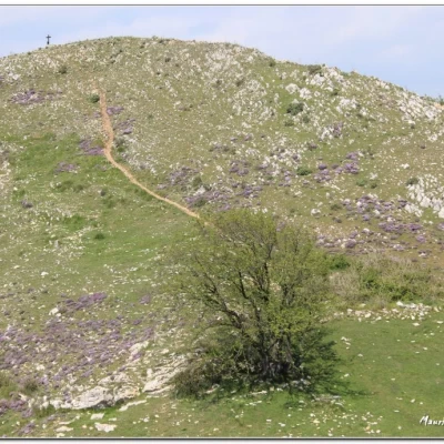
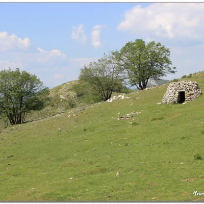
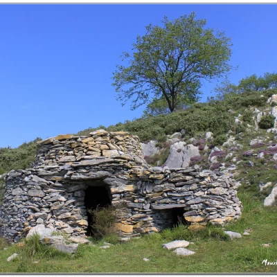
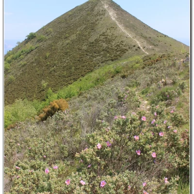
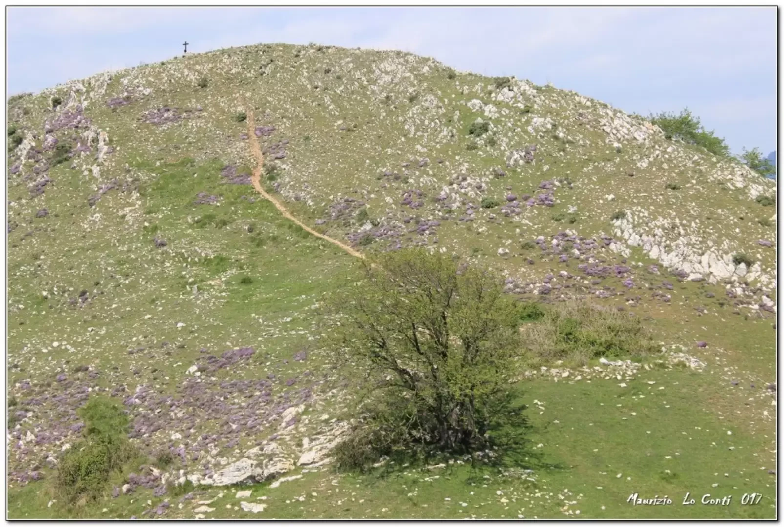
From the square in front of the shrine (a place known since 1949), take the path to the right that runs alongside the structure. At first you are in the woods, but soon you are out in the open. You can see Balestrino on the left below and, far away, the island of Gallinara stands out. The route is marked by old Fie symbols, which are sometimes a little lacking, but the development of the route is such that there are no doubts... The ridge is tackled with simple ups and downs, between sparse trees and many meadows and pastures. Turning back, there is a wide view of the Ceresa knoll, easily reached from the Sanctuary in 40', and the starting point can also be glimpsed. One then crosses a couple of perfectly preserved stone houses! It follows the watershed quite faithfully, reaching the summit of Acuto 747m (1h10'), in a privileged position over the Albenga Plain, Toirano and the coast between Loano and Borghetto. Further on, Peagna stands out with its open-air theatre. You cross vast meadows of Mediterranean maquis that are pleasantly blooming in spring. Indeed, one encounters throughout the day a sea of flowering red cistus seedlings (it is an evergreen shrub, 30 cm to 1 m, that flowers from March to June). From a collar (478 m), the only challenging climb of the day leads up to Monte Croce (541 m). In the distance, we catch a glimpse of San Pietrino and here we take our lunch break (1h10).
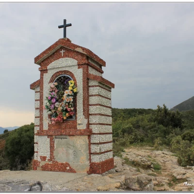
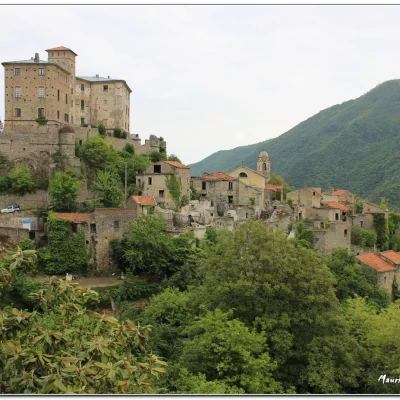
We set off again and both Ceriale and Borghetto S. Spirito are now more recognisable. With a steep path, we lose altitude until we reach the antennas of Mount Picaro (280 m), while the Borelli Castle Tower emerges among the vegetation. Nearby, there is a beautiful little chapel and an important crossroads (45'). The route continues to follow the Fie symbols until it joins a wide track again. After a final sharp bend, ignore some tracks that plummet to the left, until you reach a more evident fork, where you turn left, abandoning the red markings (30'). To direct you (this is the most complicated point of the day), there is a two-way yellow arrow that soon leads near some houses. One chooses, however, always the path that quickly leads off via Pascoli and just below via Marexiano. Then turn left into via Patriotti and soon afterwards you will find your car again (25'). All in all: a discrete day, a little cool - difference in altitude +100 mt. -850 mt Dif. T for about 4h, walking calmly enough to enjoy it all...
Trip photo:
http://cralgalliera.altervista.org/SantCroceBorghettoSpirito017.pdf
http://cralgalliera.altervista.org/altre2017.htm
NB: In the case of a trip, always check with FIE, Cai, any park authority or other institutions, pro loco, etc., that there have been no changes that have increased the difficulties! No liability is accepted. This text is purely indicative and not exhaustive.
Info Hiking Section Cral Galliera: http://www.cralgalliera.altervista.org/esc.htm
trips 2017 at link: http://www.cralgalliera.altervista.org/gite2017.pdf
General information
Trail signage:FIE symbols
Type of route:crossing
Recommended period: April, May, October
Sun exposure:south
