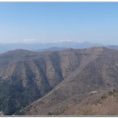
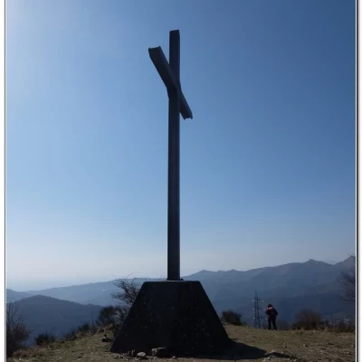
Creto, from Molassana
Access
You leave your car in the neighbourhood of Molassana (Ge) near a large supermarket.
.Introduction
On the ring of the Cai path, on the heights of Molassana.
A path, as yet unmade, is identified above Molassana: after the Fie paths, it is now the turn of the Cai paths. In order to minimise human traffic, it is decided to do it backwards compared to what is normally described. This pays off because on the uphill path to the Val Noci aqueduct track there is no one! Then you come across a group of useless idiots (two/three families with a couple of teenagers) without masks and screaming... genuine ignoramuses... there's little else to say... Also because they think they are right...! We distance them and that's the end of it...
Description
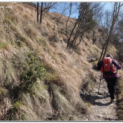
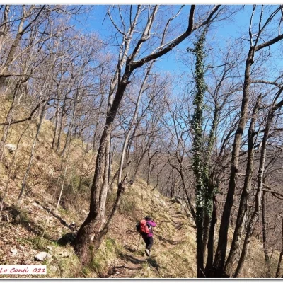
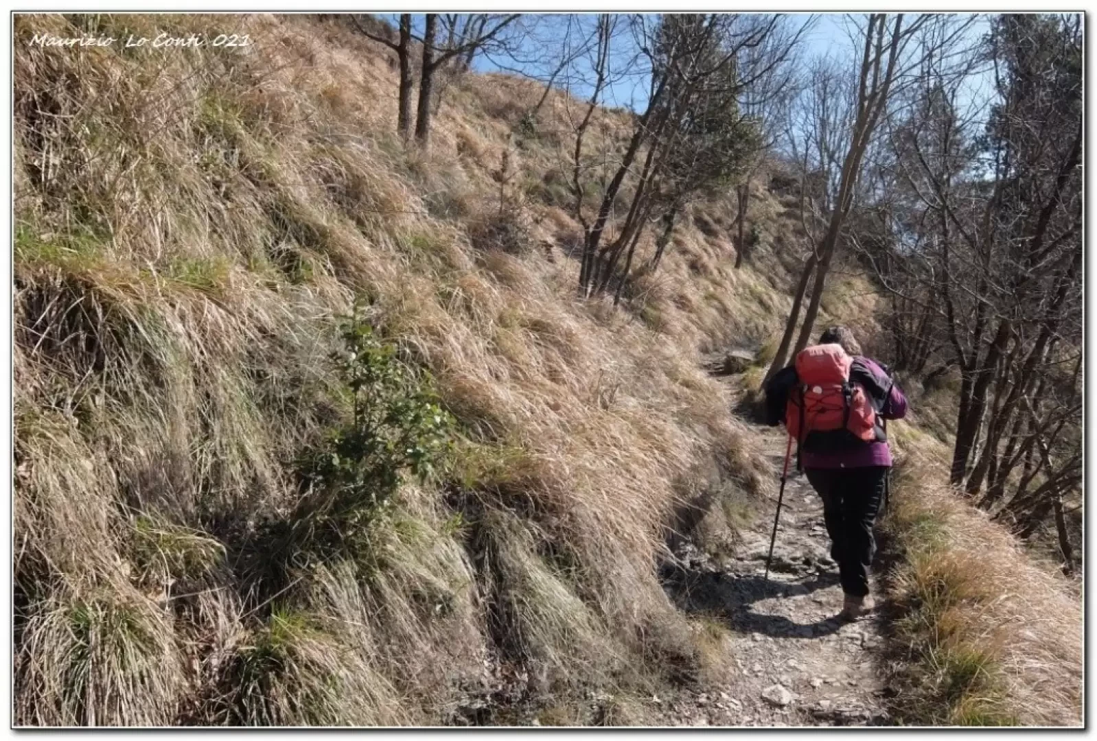
From Via Geirato, ignore the Cai flags crossing a bridge (the return leg) and take Via Rio Maggiore, Salita S. Giacomo di Molassana, Via Cà di Sciarretta, Via Rio Maggiore and Via Castello di Pino in sequence. Afterwards, one enters the woods. When you come out on the Valnoci track, keep to the right and after the building climb up the path, coming out at Creto (650m). From there, follow the Av towards the village. The Cai symbols are missing and you end up on the asphalt, losing them. One takes a break for lunch from a series of steps. Later, from the bend called the Perdono, the flags reappear and descend onto a dirt road.
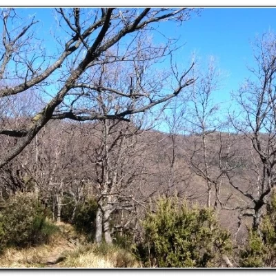
Then just above is the huge San Siro. Continuing to lose altitude, there is a disorienting fork: a Cai arrow invites you to turn left, but after that you don't quite understand where to go... Turn back and descend, finding the usual trail markers again. Further on, you see the diversions that leads to a nearby ruin. You pass another crumbling building and, since it is early, take the diversions to Terre rosse and Castelluzzo. A handrail made of logs helps in the impervious ascent.
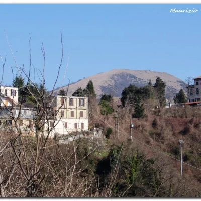
After returning to the previous turnoff, we descend, finding more buildings. We descend further, crossing the historic aqueduct path (with crowds of people). The Cai marking is rarefied and no more can be seen. However, they are recovered, and we descend towards Via Geirato and the car park where the vehicle waits.
In short: Diff. E - height difference +600 m - almost 15 km - 5h15 approx. total + stops -
Weather: clear, early spring. Route comfort: almost poor. Best time: autumn to spring, avoiding cooler days. Tour interest: medium +
NB: In the event of an excursion, always check with FIE, Cai, any park authorities or other institutions, pro loco, etc., that there have been no changes that have increased the difficulties! No liability is accepted. This text is purely indicative and not exhaustive.
Info Hiking Section Cral Galliera: http://www.cralgalliera.altervista.org/esc.htm
as well as the usual pdf: http://www.cralgalliera.altervista.org/AnelloCaiCreto021.pdf
