Col Montagnayes, from la Ferrère

Edited by:
Benedetto Lorusso
Introduction
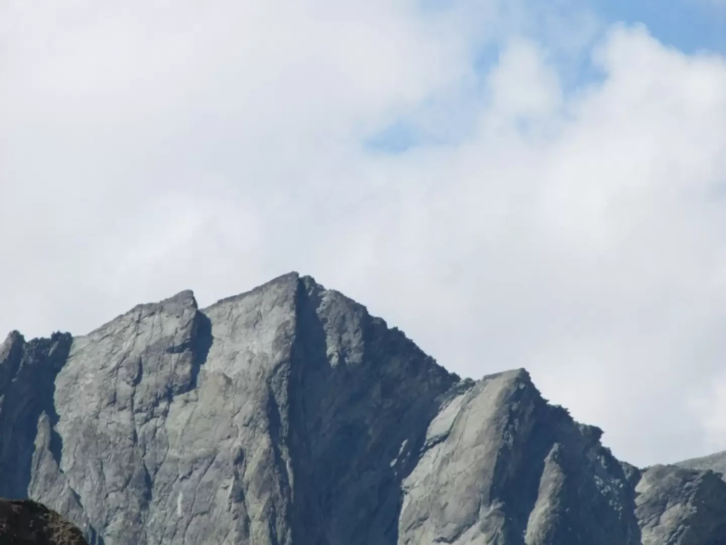
The Montagnaya pass opens up between the Becca d'Arbiere and the Montagnaya peak and connects Bionaz in Valpelline with the Cuney sanctuary. The path is marked with marker 15 and yellow signs up to the ruined Avoley alpine pasture, then continues marked with cairns up to an altitude of 2600 m. where the cairns continue. At an altitude of 2700 m, you are on a macereto where the cairns are more difficult to spot.Description
The climb begins with a descent, from La Ferrera m.1691 you descend to Poullaye m. 1602 where you will find the signposts for trails 14 (Chentre bivouac) and 15 (Montagnaya pass).
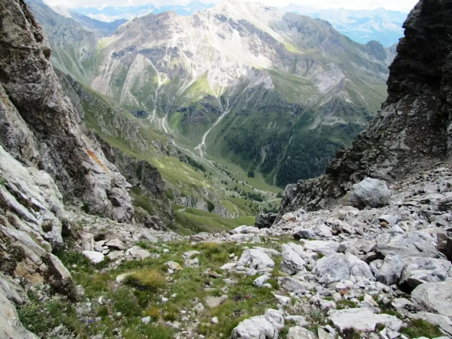
After about an hour's walk through the forest on a beautiful path with the view of the Aouille Tseucca behind you, you arrive at the crossroads.
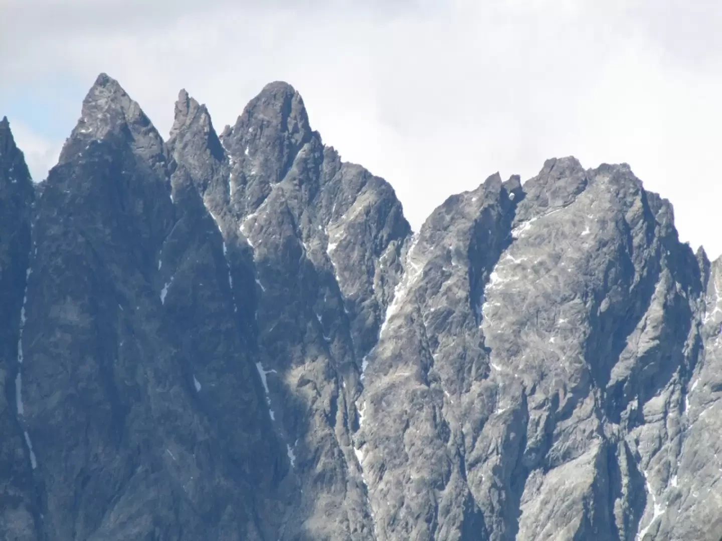
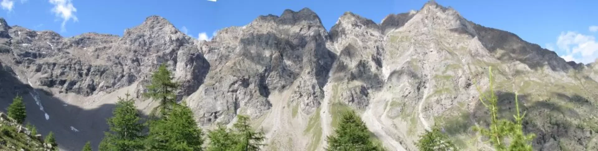
Leaving the path to the bivouac on the left, we continue into the Montagnaya comba towards the beautiful chain with the Becca del Merlo on the left, passing under the imposing walls and gullies of the Invergnaou, passing the ruined Ardamun alp and the Aquelou tsa, which has become a shelter for calves left in the wild.
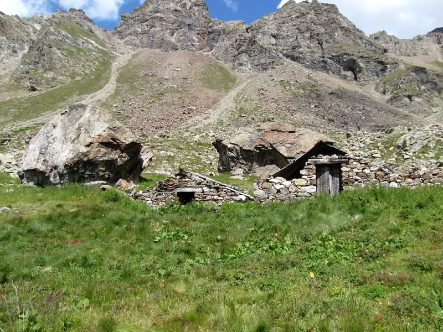
We now ascend more steeply to the left to reach the Avoley alp, also in ruins, where the yellow signs cease to appear.
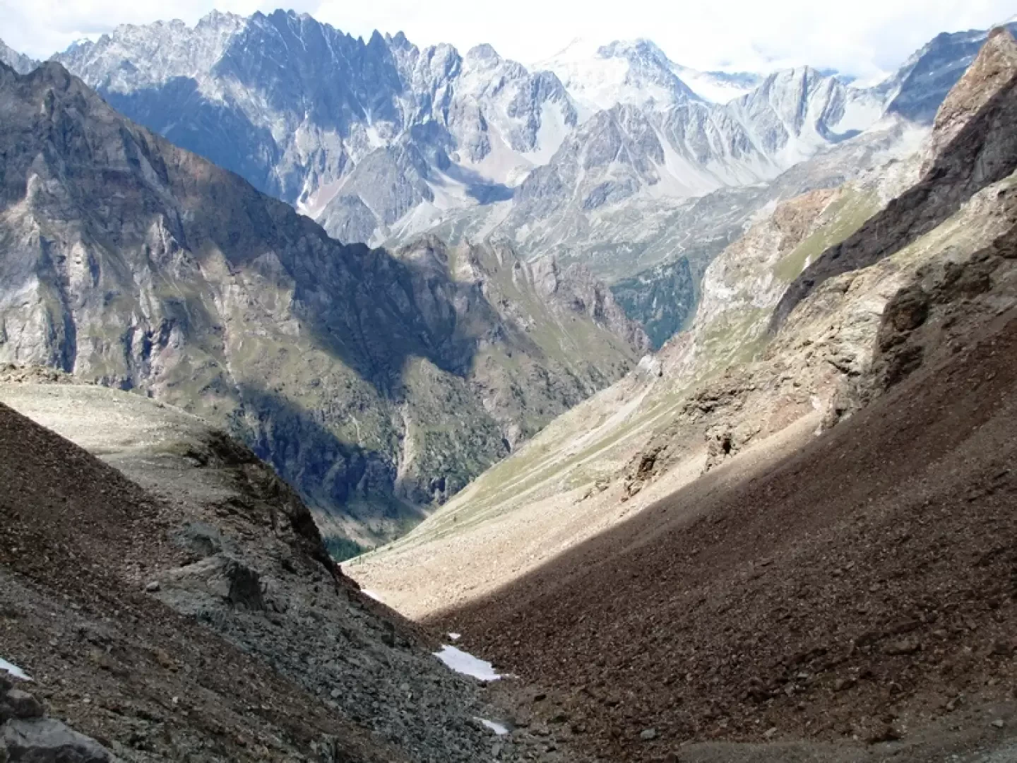
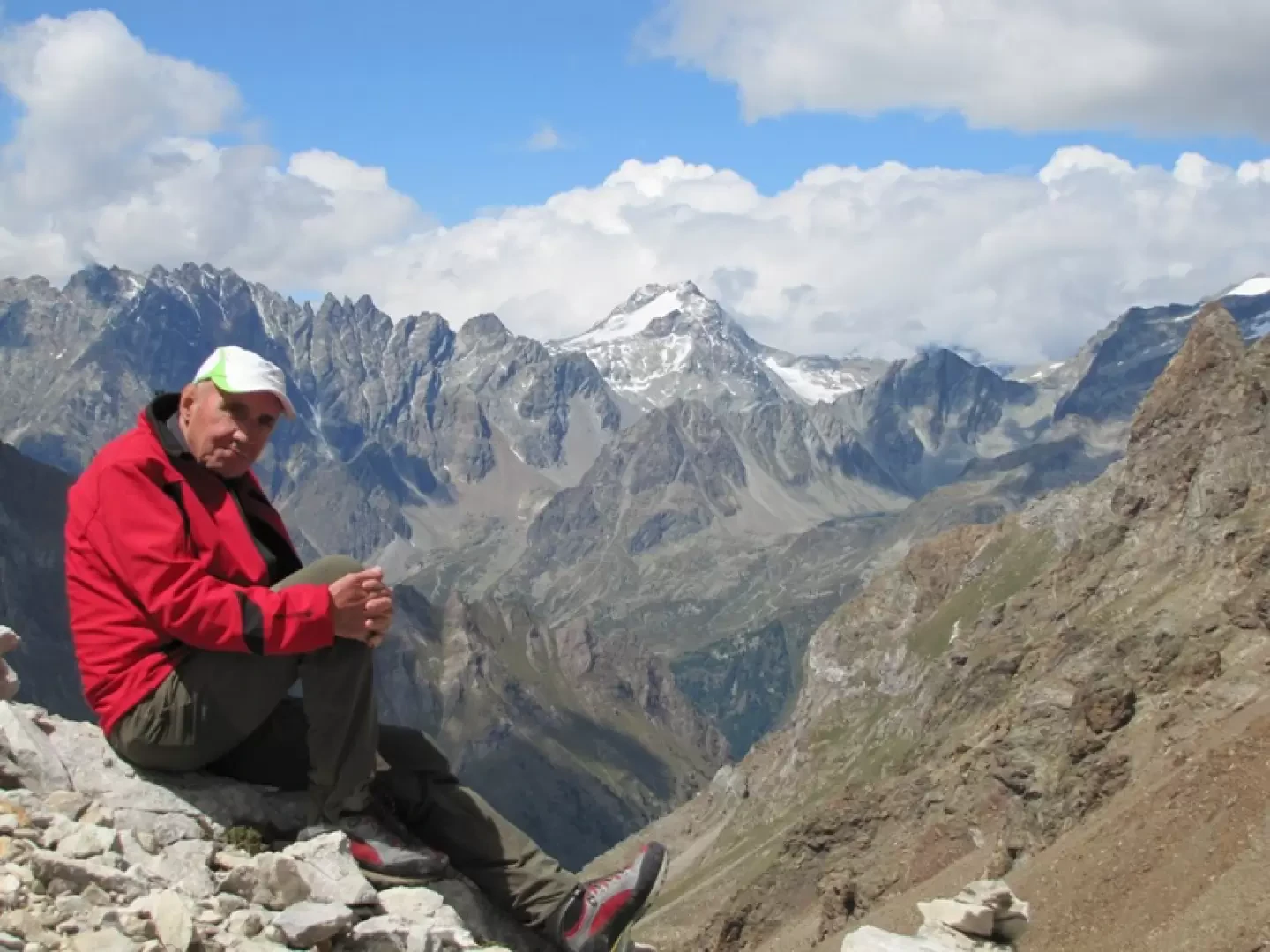
Behind us are the Morion chain, Mont Gelè, the tour de la Tsa and the Deer.
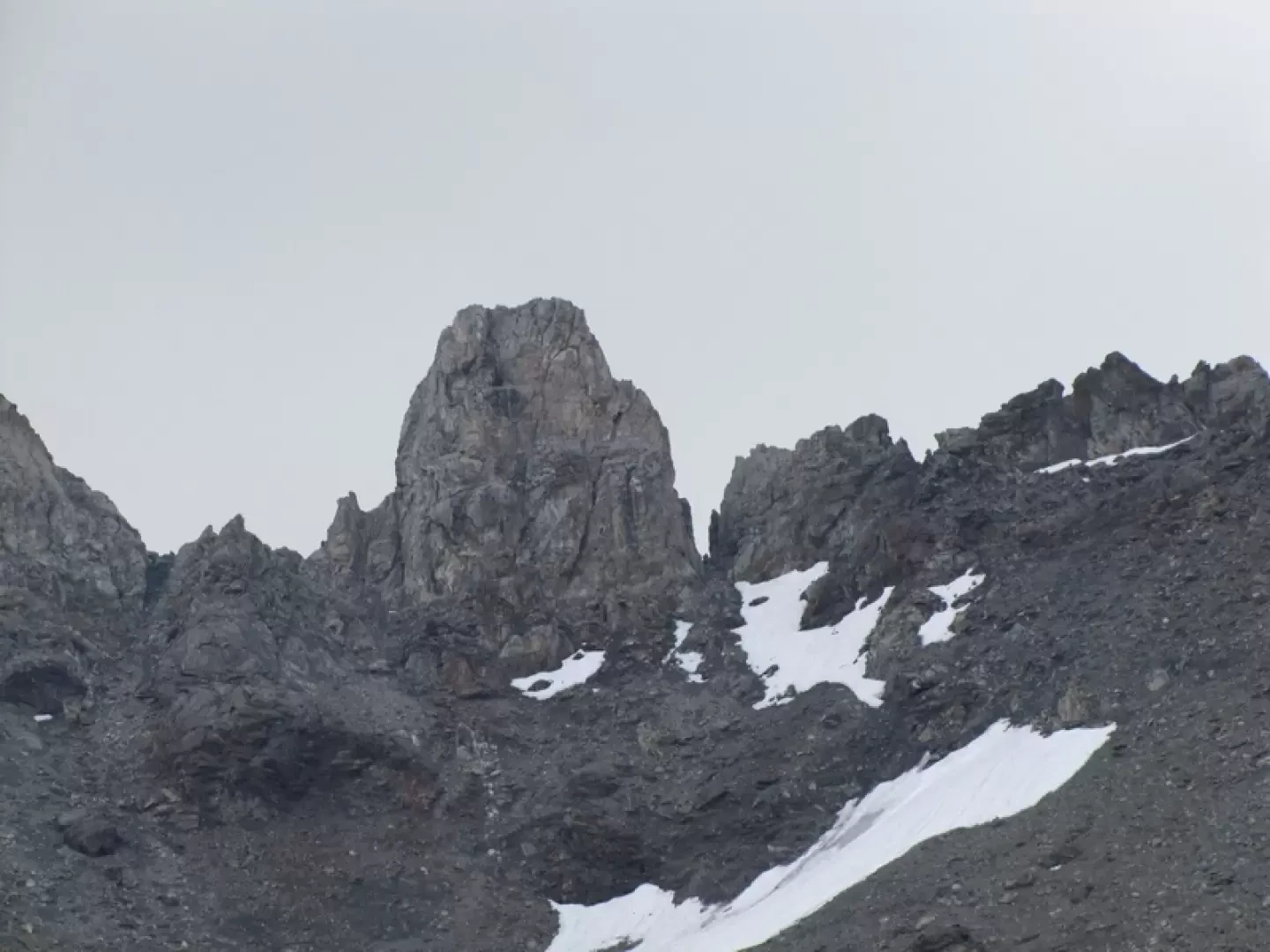
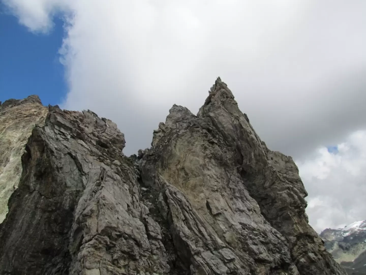
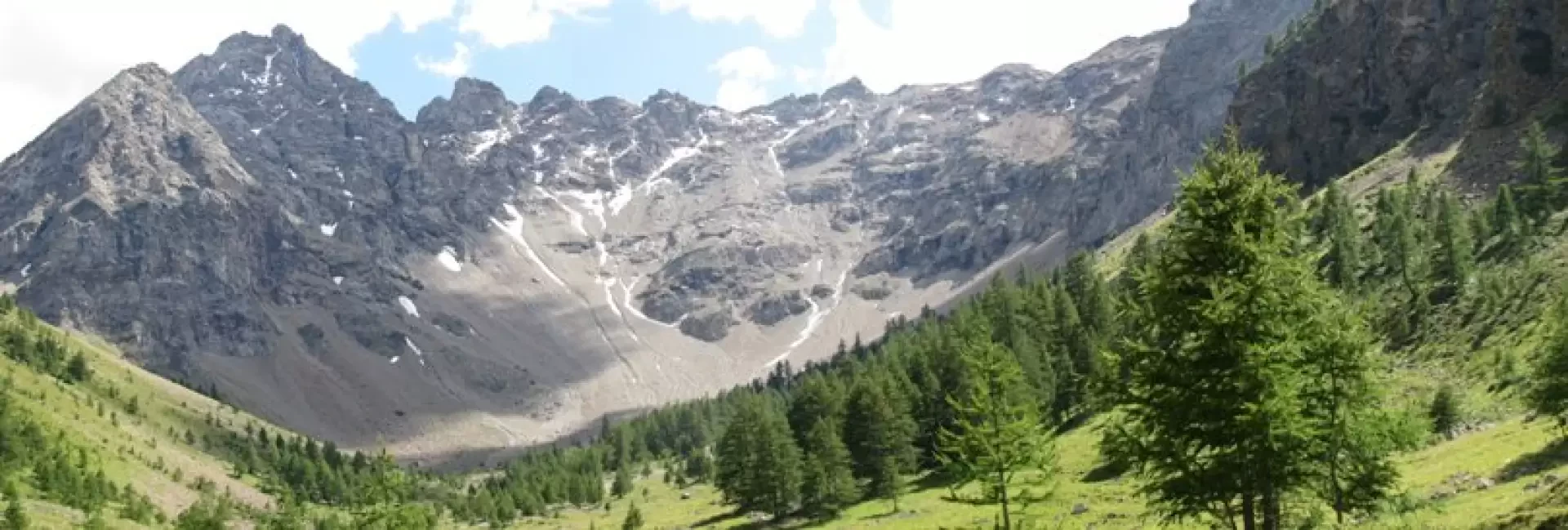
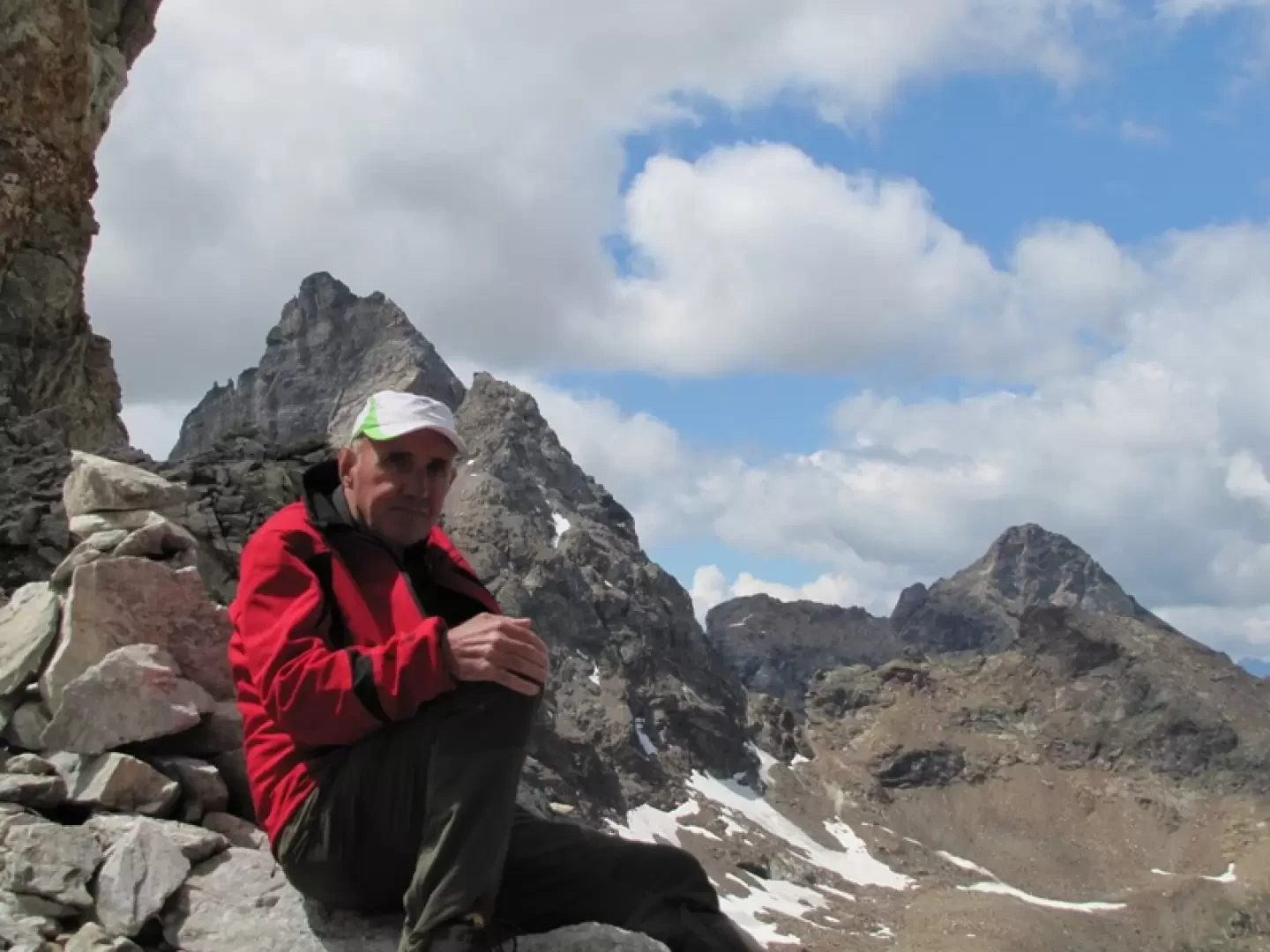
Continue on an uncertain path marked by cairns, dominated by the Ermite de Cuney guarding the pass of the same name.
The path divides to the left and is more marked to the right and climbs up a grassy ridge.
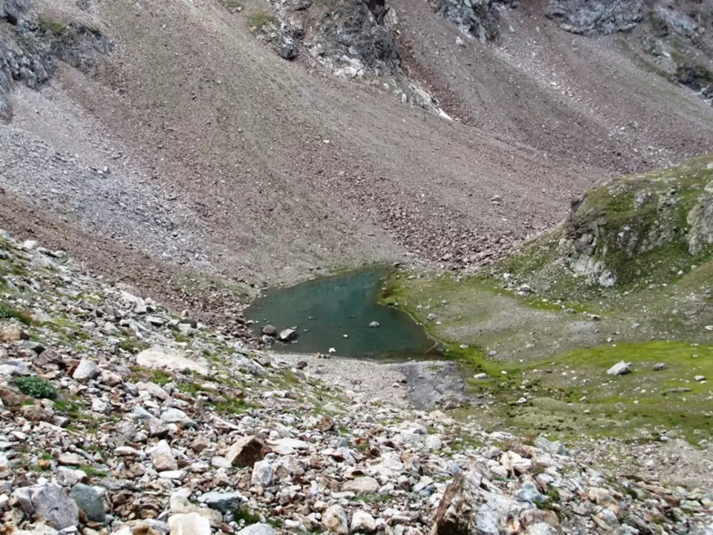
A small lake appears on the right
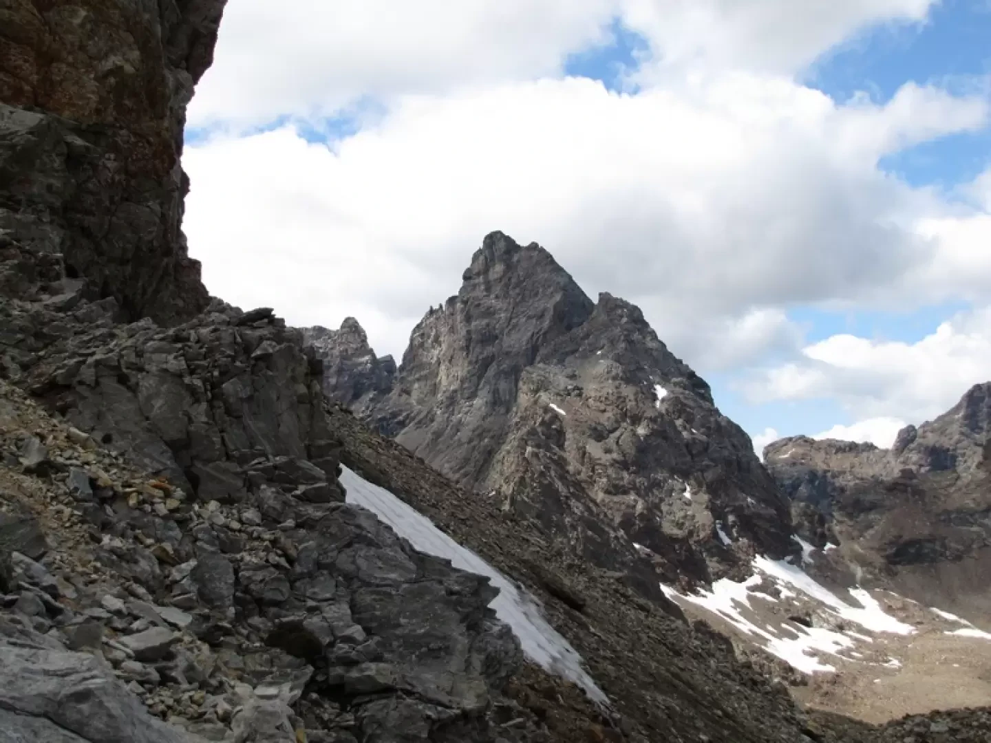
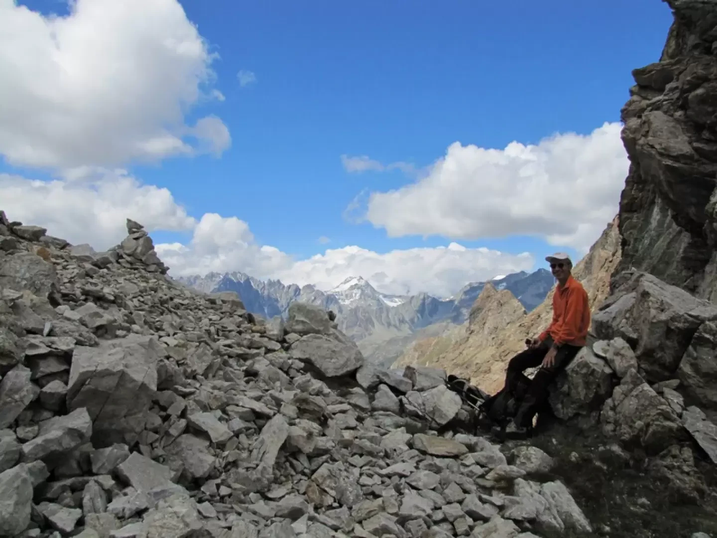
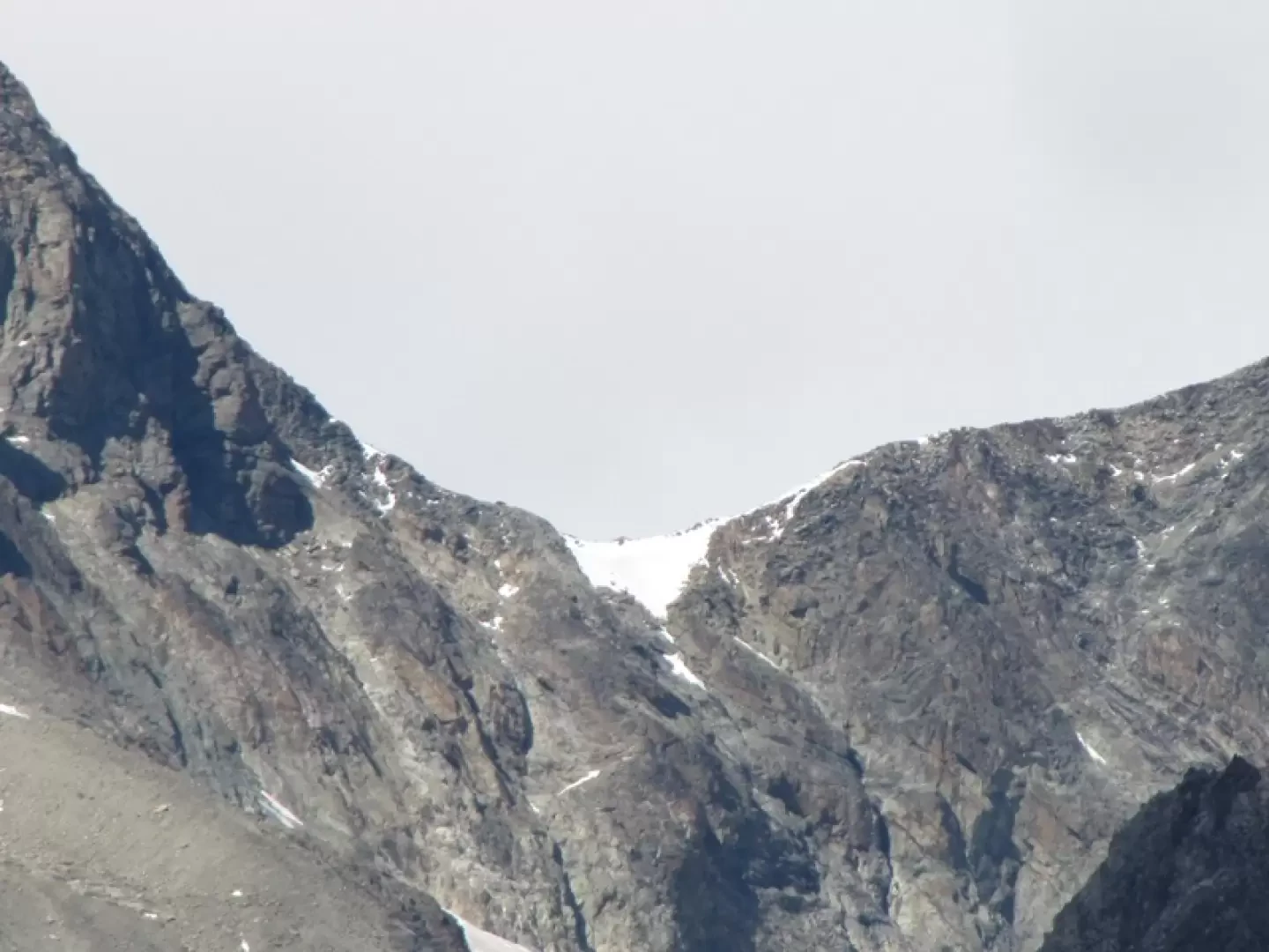
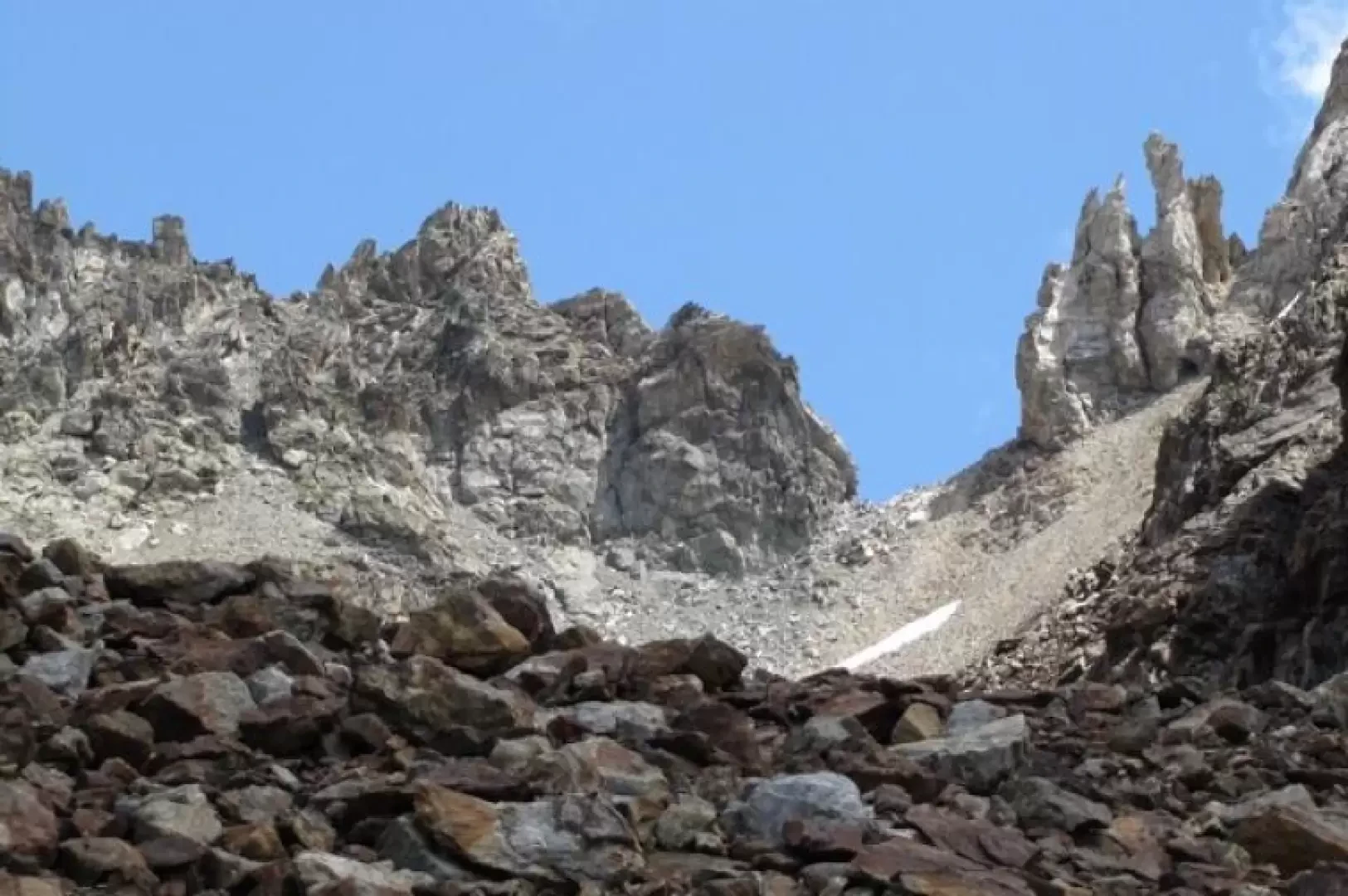
A little further on where the two routes meet, the macereto begins and the pass can be seen.
Finding the cairns among the many stones is now more difficult, it is better to keep to the bottom of the little valley where some snowfields make it easier to walk up to the final ramp, about seventy metres high, not too steep which can be climbed where you want or by looking for the few tracks (on the left under the becca d'Arbiere walls) and in a short time you reach the pass.
For the views and the environment, one of the most beautiful walks in Valpelline.
Galleria fotografica