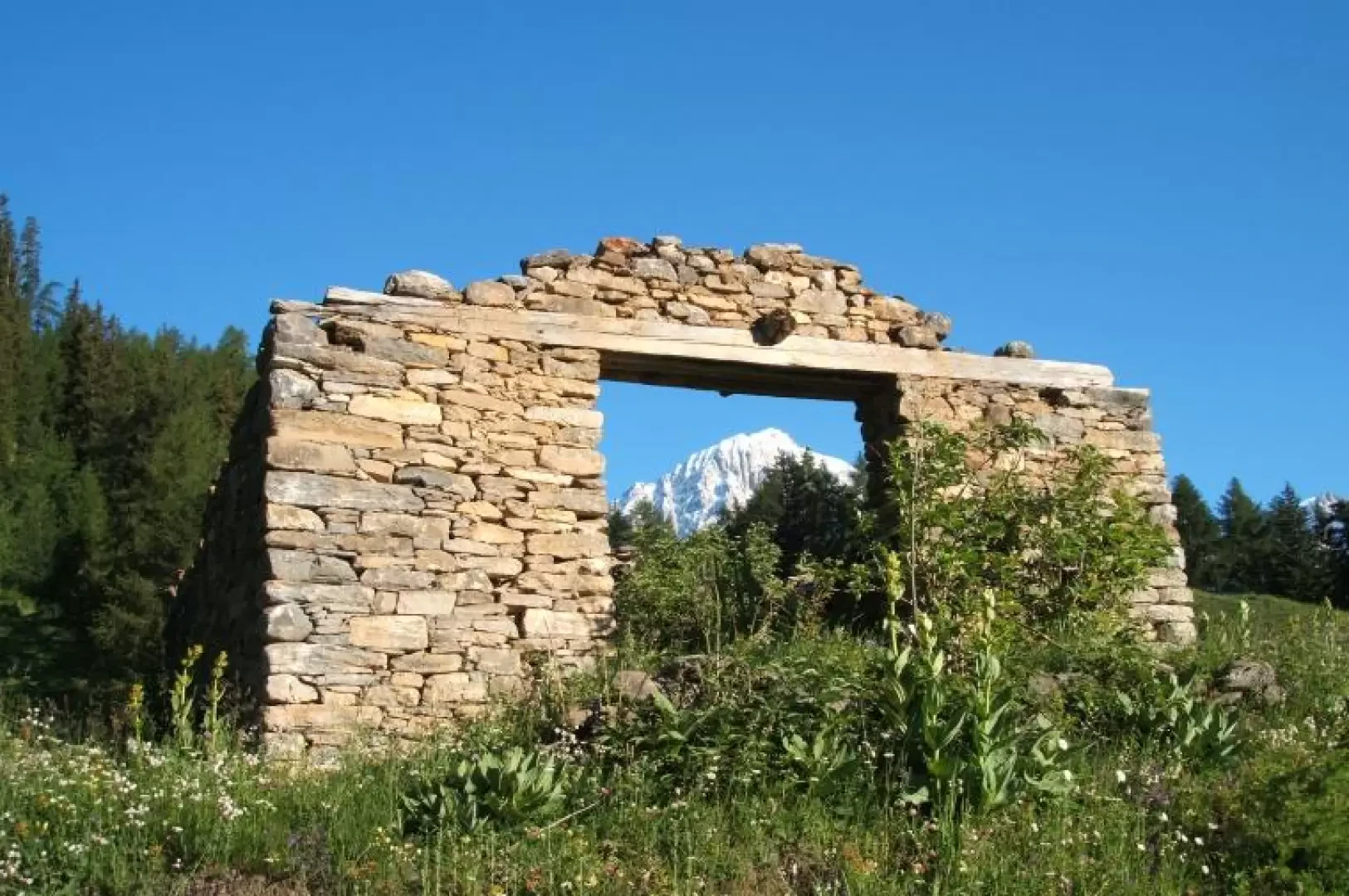
Col de la Youlaz, from Dolonne

Description
So soon after the bridge, a path marked with a white 'arpette' sign starts. After a few metres yellow signs with the numbering begin. Always follow the numbering. the path climbs in hairpin bends, inside the forest, skirting some disused mountain huts and grassy clearings. at an altitude of about 1700 the path joins a dirt road. continue on the cross-country road, always with the number for about 400 metres of difference in height.continue straight on, ignoring a branch-off to the right that leads to the cross. after a short distance, traces of the path allow you to cut across the road, which, however, has been interrupted by the enormous rockfall that broke away in December 2008 from the Monte Crammont. continue along traces of the path to the entrance of the Arp valley (ignore the last huts on the right). here the path is once again evident and rises gently in hairpin bends or along the valley and follows it up to the col d'arp, 2570 m. (from the col de l'arp there is a beautiful panorama of the ascent valley from la thuile and ruitor.this pass connects the ascent valley with the valley of youla, which climbs up from the valley of la thuile. at the pass, a path climbs to the right and leads in a short time, almost flat, to the pass of youla. from the pass of youla, the view sweeps over monte bianco and val veny
.Cellular network coverage - vodafone: 80% coverage, 1-2/5 signal excellent vantage point on white.