Chapel of the Blades, from Lake Giacopiane


Edited by:
Maurizio Loconti
Updated at: 03/11/2025
Access
In the morning, after the motorway exit at Lavagna, you can get petrol (Ipercoop petrol station with good prices). Afterwards, you go up the Val d'Aveto paying close attention (always many cyclists). At Borzonasca, you take a break to get the €5 pass for the Giacopiane lake (number plate at hand and then remember to leave it clearly inside the car). Afterwards, head back up to Campori where you turn right onto a narrow 7 km asphalt road that ends, with many bends, at the lake (about 30 km from the toll station).
Introduction
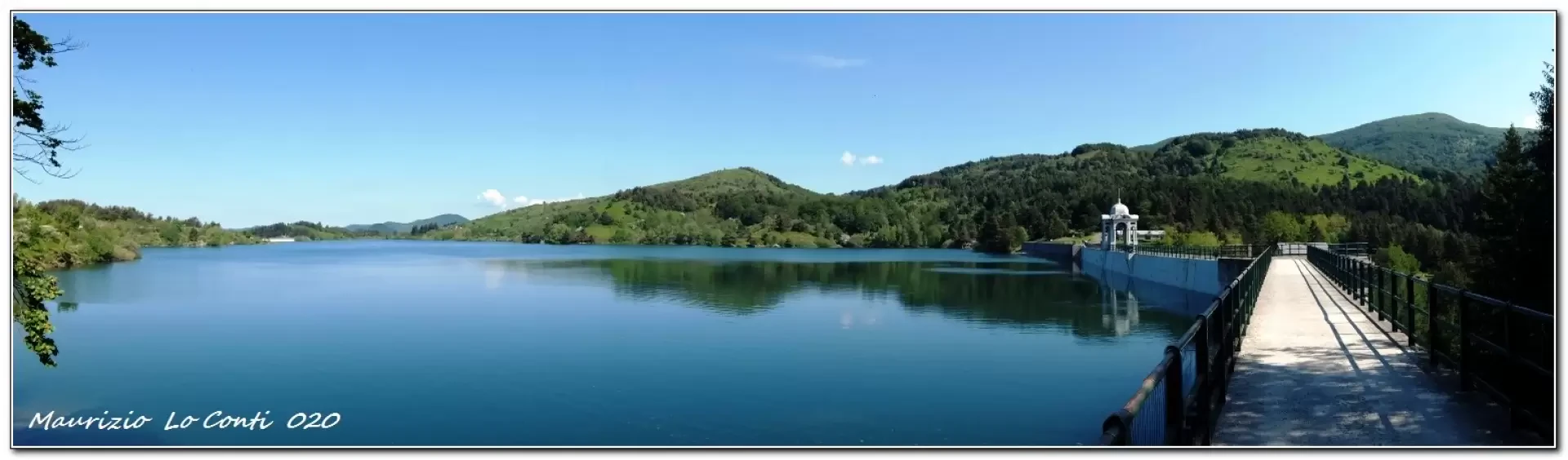
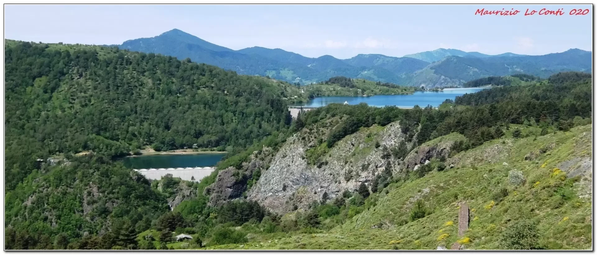
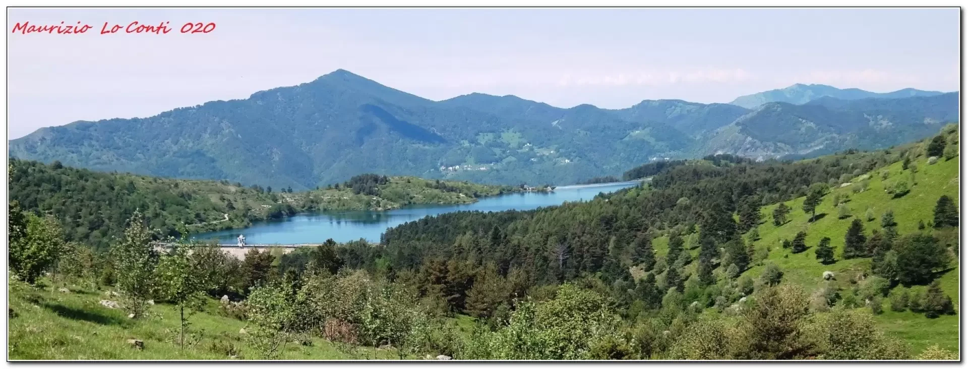
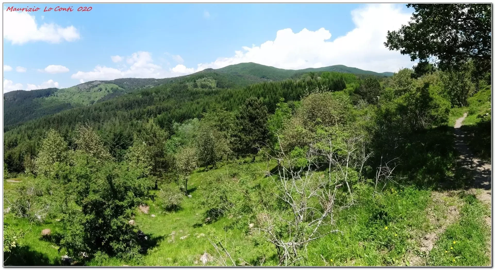
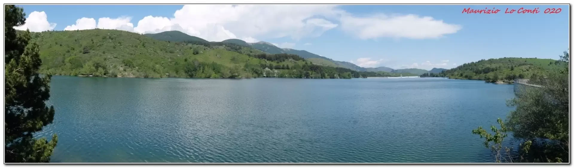
The main reservoir is at 1015m; below it is a smaller one (Lake Pian Sapeio) and the two reservoirs are scaled for electricity production. Their construction dates back to the 1920s.
Description
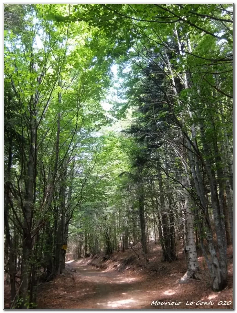
Parking the vehicle, you cross the dam and turn right to cross a bridge and then tackle a somewhat difficult ford (the only critical point of the day). Next, you are on a wide dirt track. Some hairpin bends can be cut, but the wide track is preferable.
From a fork in the road, you have to turn left, but straight ahead there is malga Perlezzi, a pretty building to see (a few minutes).
Retracing your steps, you climb up the road. We decide to continue on the same road, ignoring the Fie and park authority symbols, which make a longer loop. The route is very comfortable and mitigated by a still.... fresh breeze...
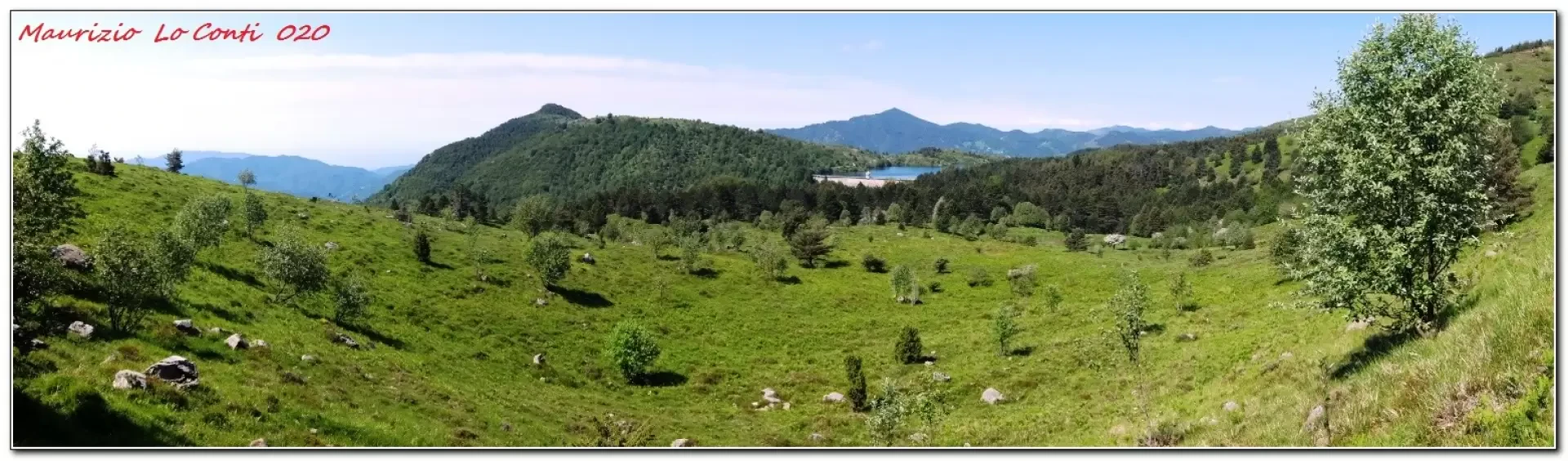
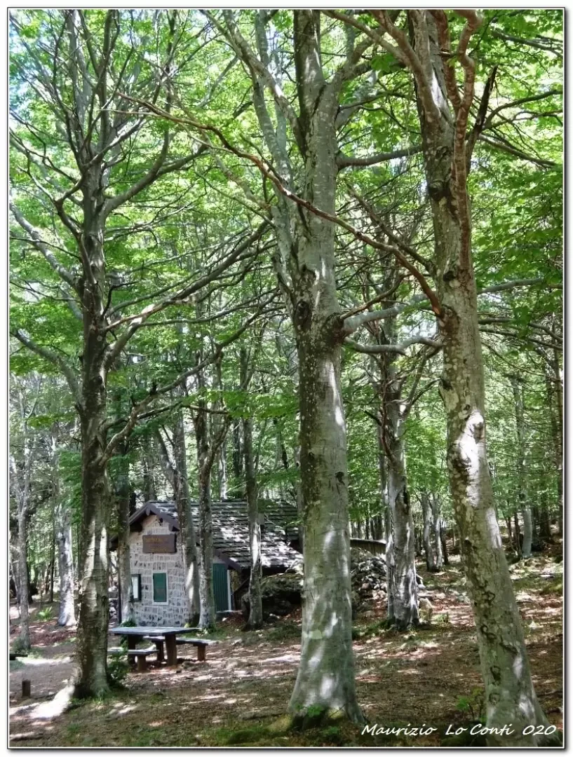
Finally, you come to a crossroads, with no signposts: to the right is towards Mollo meadow, then turn left, plunging into a dense and beautiful beech forest.You gain some more altitude (touching 1380 m) then gently descend to the Cappelletta delle Lame area (1310 m) and the nearby bivouac where you can take a break (tot. 2h20 + 15' x diversions to Perlezzi). Once the break is over, we choose the most direct route back, which starts at the sacred shrine. The park signs are well in place, but you have to be careful as you slowly descend. The return is however quick and not steep. From the lake, there is now a multitude of cars and people. Having arrived on the westernmost side, you have to walk a little more to get back to the car (tot. 1h40).
diff. T or a little more, difference in altitude 400 m almost all on dirt track so very easy, about 4h total + 15' for diversions to Perlezzi
Here is the pdf file, with some additional info:
http://www.cralgalliera.altervista.org/Giacopiane020.pdf
http://www.cralgalliera.altervista.org/altre2020.htm
NB: In the case of an excursion, always check with FIE, Cai, any park authorities or other institutions, pro loco, etc., that there have been no changes that have increased the difficulties! No liability is accepted. This text is purely indicative and not exhaustive.
General information
Path:from Lake Giacopiane
Signposts: Fie and Ente Parco Aveto
Type of route:circular
Recommended period: April, May, September, October, November
Exposure to the sun: east
Objective Danger:none
Exposed Tracts:none
Useful Equipment:normal daily hiking equipment
Water: n.r.
Update May 2021
A circuit between Lake Giacopiane and the Lame chapel (and back by car from Pasticceria Galletti...)
First a few previews, before the usual Pdf in a few days:
http://www.cralgalliera.altervista.org/2105D1Puledro.jpg
http://www.cralgalliera.altervista.org/2105D2GuadoDifficoltoso.jpg
http://www.cralgalliera.altervista.org/2105D3FaggetaFitta.jpg
http://www.cralgalliera.altervista.org/2105D4Diga.jpg
http://www.cralgalliera.altervista.org/anno2021.htm
NB. After clicking the link, remember to press F5 to refresh the page loading
The report:
The weather is a bit like this, but no rain is forecast so we decide to go. Fears arising from apocalyptic tales of motorway traffic dictate that we leave a little earlier than usual (with the hope of positive repercussions on the afternoon drive...). You take the toll road at 7.55 a.m. and in about 25 minutes you are at the Ipercoop in Carasco (there is no one there and all the construction sites to the east have been removed - different story on the A10, where motorists will experience another day of passion...). The shopping centre is still closed (it opens at 8.30) and we get petrol (with prices, for once, similar to those in Genoa...). After breakfast, we regroup with the other participants and set off. From Borzonasca, a short break allows us to take the permits for access by car to the lake (5 € per vehicle). When you arrive at the lake (1015 m - 7 km of secondary road for a total of 30 km from the Lavagna toll station) it is nowhere and you head into the mist. The excursion is easy and has only one difficulty: a ford (Rio Calandrino), shortly after the start, which is problematic due to the large amount of water... one way or another, it is overcome and then everything is quiet... very calmly, we ascend the wide track again, with the time improving markedly, until we reach the area of the small chapel of the Lame (at least 1h15 away from the lake of the same name - the pace was slow and compared to the survey it takes 30' longer, 3h, but this is of no importance...). There are a few small tables and a small house has been perfectly restored. The stop is short because... it is cold, despite the fact that it is the third decade of May (altitude 1300 m, having been close to 1400 m). The most direct route back is preferred and, at the start, several felled logs hinder the progression of the walk. Still very calmly, we return to the car park (2h). It is early, but we choose the Fontanabuona road to Genoa. This is a good excuse for a 10-minute diversions at the very good Pasticceria Galletti in Ortigaro (0185 975000 - http://www.pasticceriagalletti.it/pasticceria/ ). Afterwards, at Gattorna, we turn left, passing by Monte Fasce and coming out, quickly, on corso Europa (Gattorna - corso Europa junction: about 50'). Finally, you are home...
.Photo gallery
Comments (0)
Sign in to leave a comment