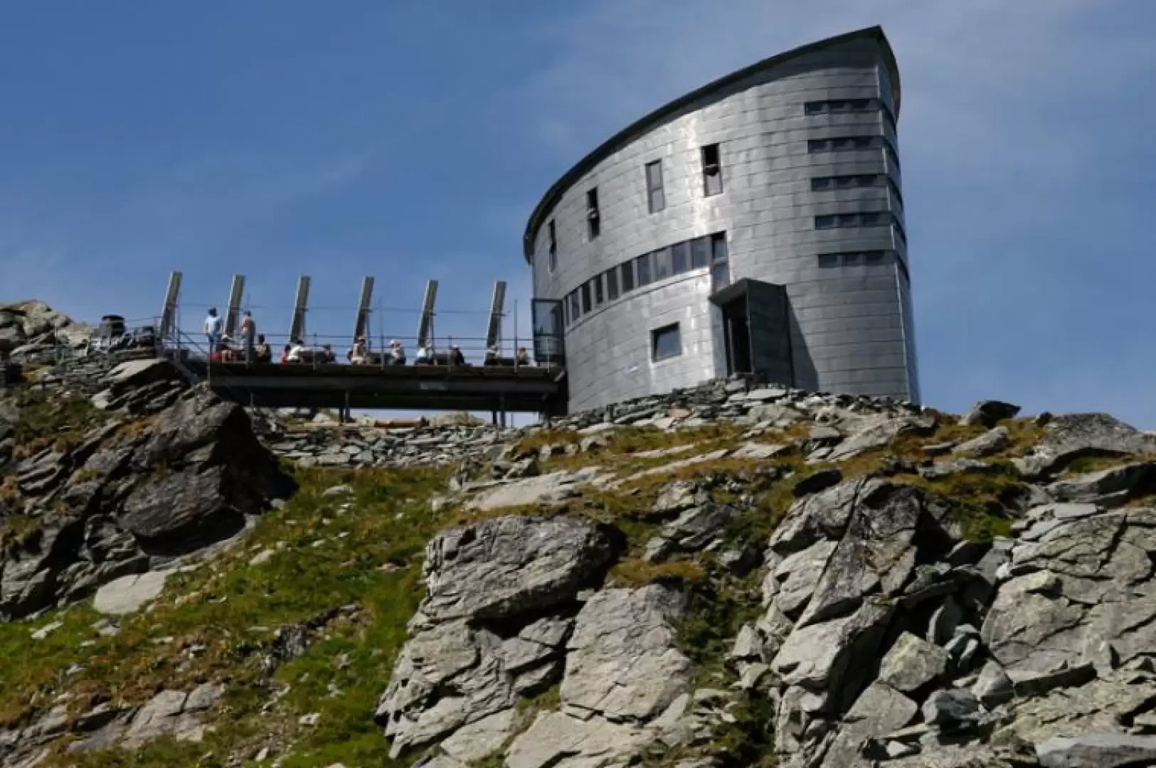
Cabane du Vélan

Introduction
Introduction
Description
Leaving the car near the beginning of the cross-country road at an altitude of 1830 metres (trail marker), walk into the Valsorey valley. Follow the cross-country road to the Cordonna mountain pasture, where the good path starts to the left. After about 40-45 minutes, you come to the fork (on the left) for the Cabane de Valsorey. The signposts are very obvious and clear (post and paint on the boulders). Continue along a beautiful valley floor of glacial origin and after crossing the stream on a wooden bridge, walk towards the evident moraine at the top of which you can already see the hut. The path, which is always very evident, zigzags along the side of the moraine until it comes out on the ridge at the crossroads (marker) leading, on the left, to the Cabane de Valsorey (2h - 2h15). Continue to the right, aiming for the now nearby refuge, which is reached in about 15 min. The panorama is dominated by Mont Velan and the Gran Combin, at the base of which the Cabane de Valsorey can be seen. The descent follows the same route in about 1h 30'.
.