Britannia-Hütte


Edited by:
Giancarlo Beretta
Updated at: 17/02/2025
Introduction
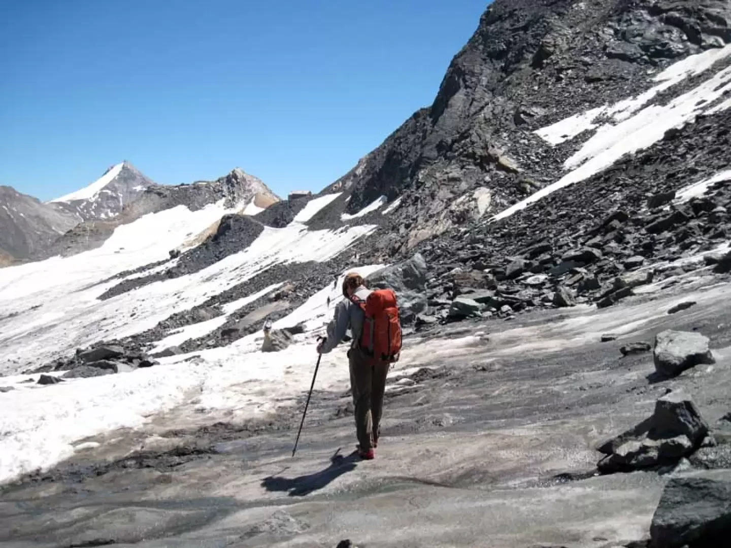
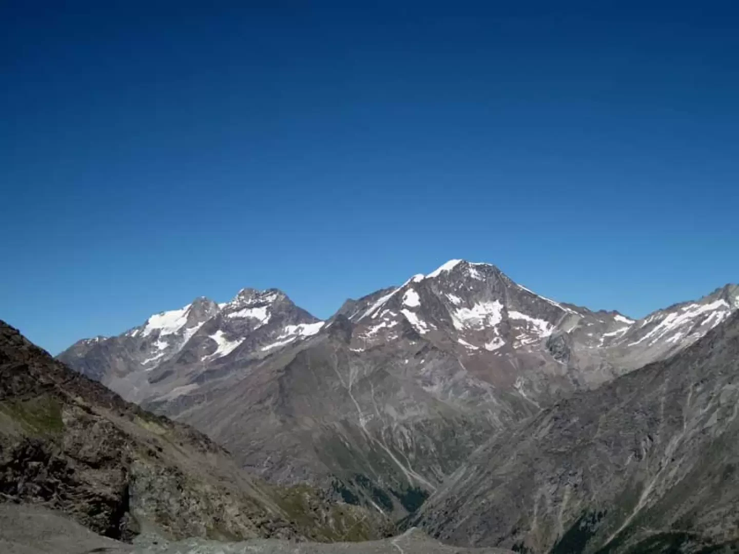
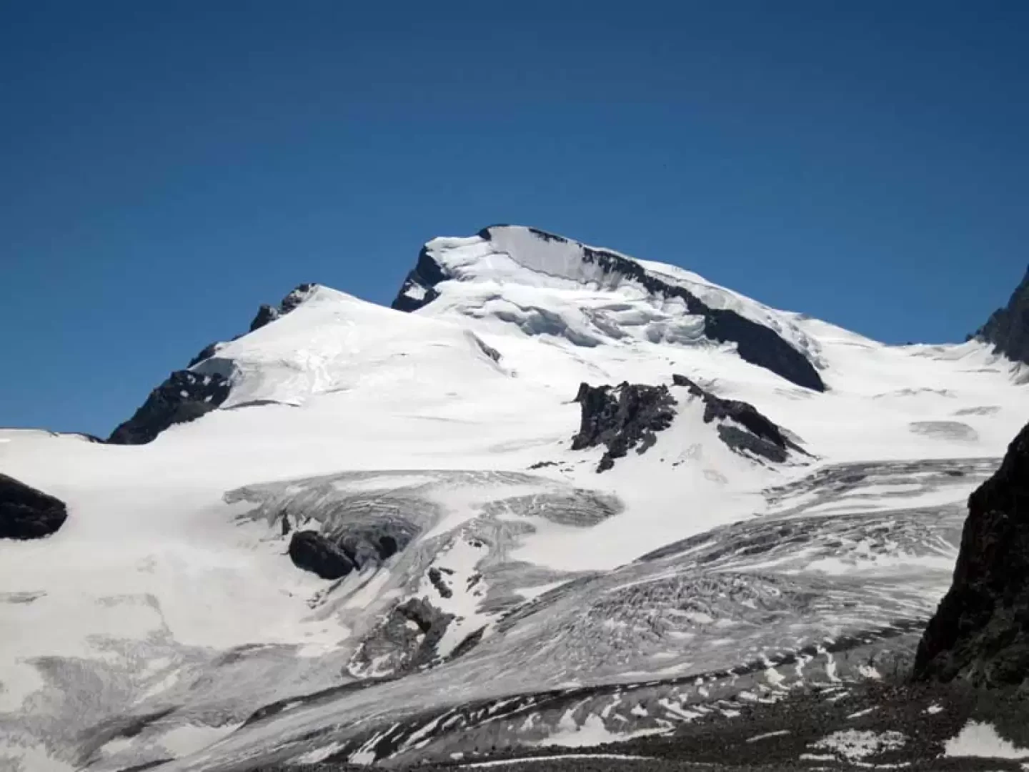
This hut is frequented not only by mountaineers, but also by many tourists, as the route is practically level, and is located in an enviable vantage point with views of the nearby Rimpfischorn, Strahlhorn with the extended Allalingletscher to the south, the Täschhorn on the Dome and the Lenspitze to the north and further east to the Fletschorn, Lagginhorn and Weissmeis and even further towards the 4000-meter-high Oberland. Reaching it involves traversing high mountain terrain, with sections also exposed to falling rocks, and crossing short sections of even glassy ice where harmless cuts are present.
Description
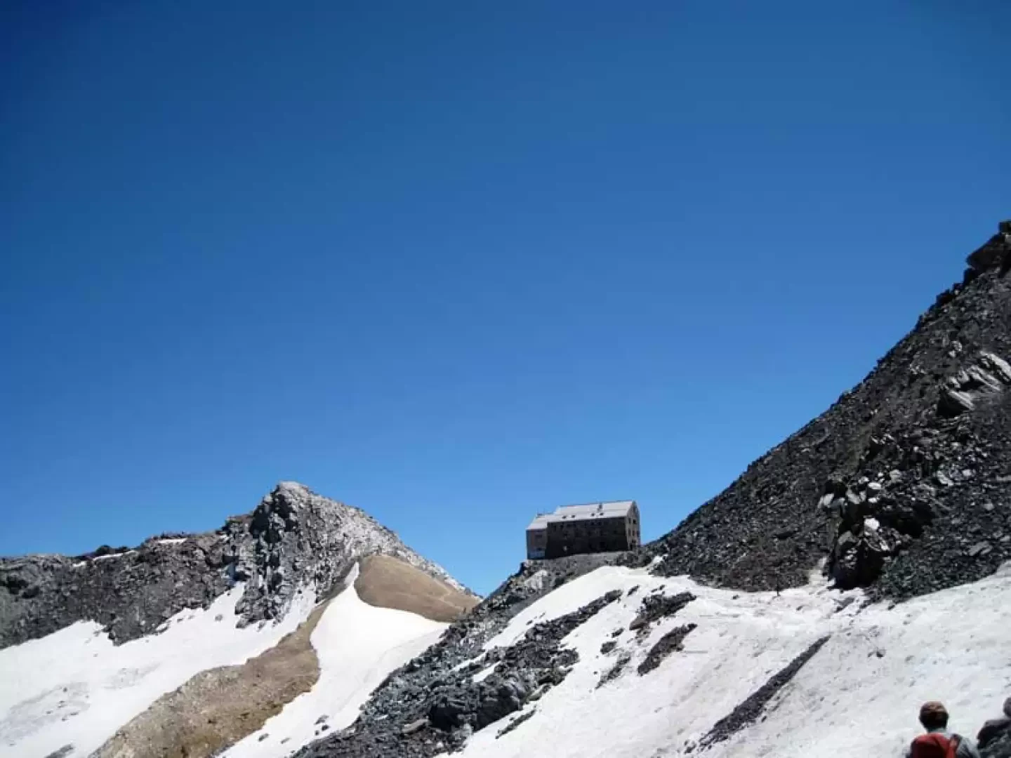
From the arrival of the cable car, take the track that starts right in front and heads towards the slope of ice and boulders; the well-trodden track passes over stony terrain alternating with sections of ice and borders the northern flank of the Hint Allalin. The progression, in the virtual absence of uphill sections, is not tiring, but one must nevertheless pay attention to the various cuts in the ice and the many moving stones. You will soon reach a clearly visible col, where you will find the arrival point of a ski lift, and at this point continue to the right towards the clearly visible construction of the hut; after another short section on mixed terrain, you will reach the col where it is located.
Photo gallery
Comments (0)
Sign in to leave a comment