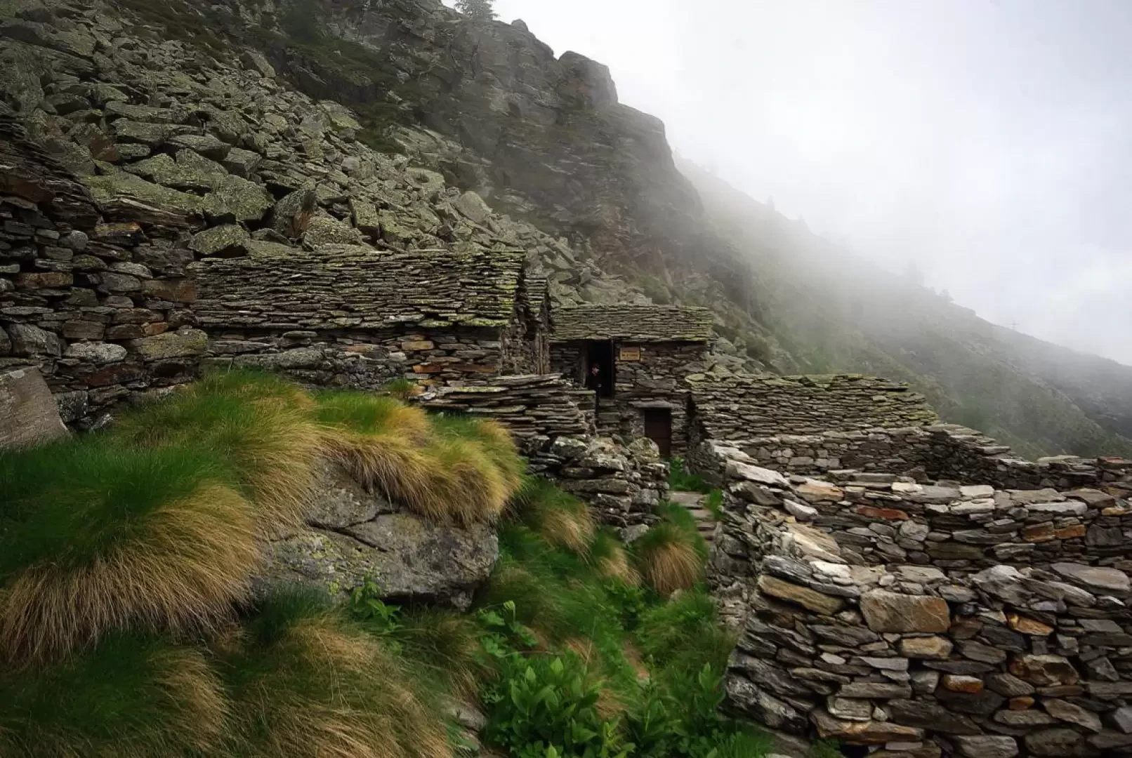
Longa bivouac at Alpe Cortenero, from Mondelli


Edited by:
Marco Bonati
Updated at: 04/05/2025
Access
From Milan, take the road to Gravellona Toce and then continue on the state highway to the Piedimulera exit. From here, go up the Valle Anzasca road to just beyond Ceppo Morelli, where you turn right for Mondelli. There are a few places to park at the end of the road.
How to get there with GMaps
How to get there with Apple Maps
Introduction
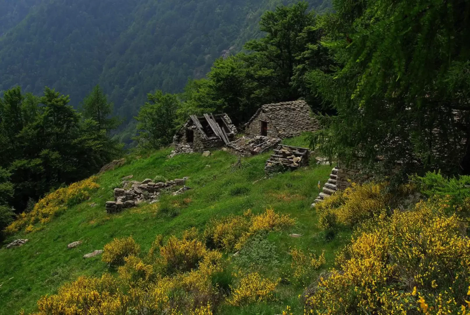
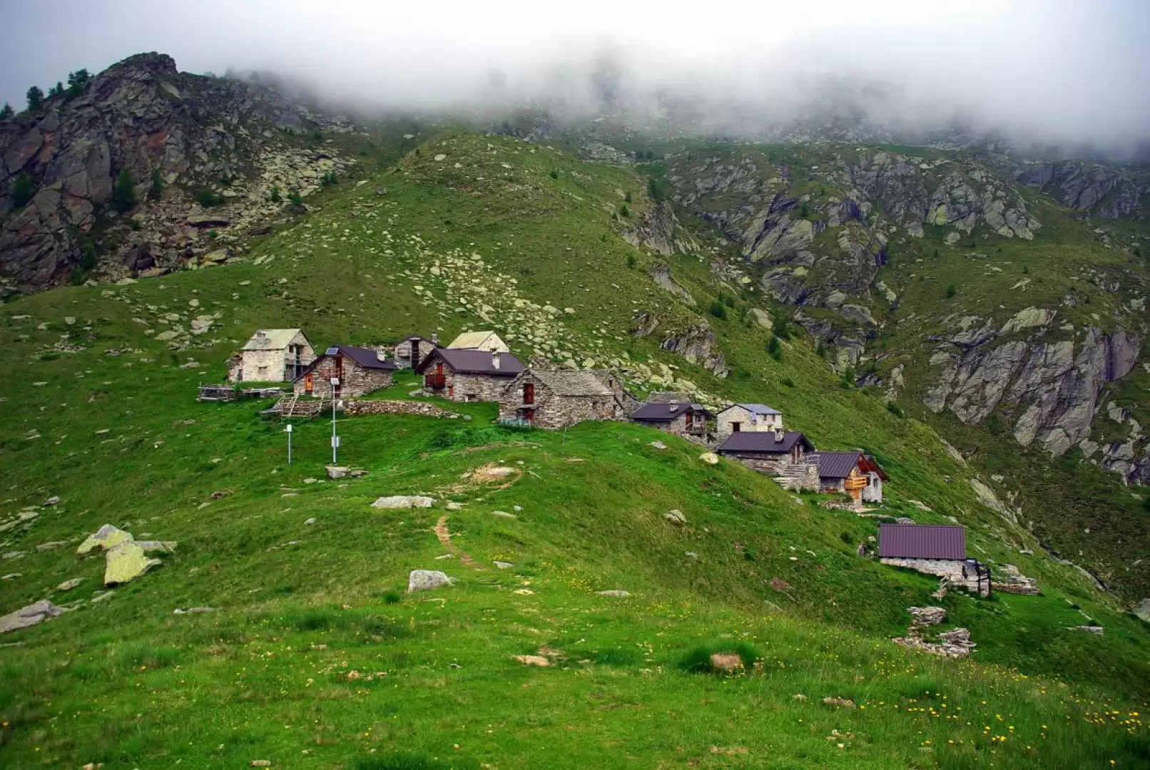
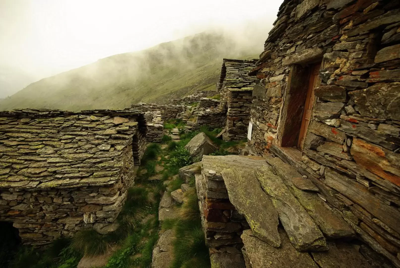
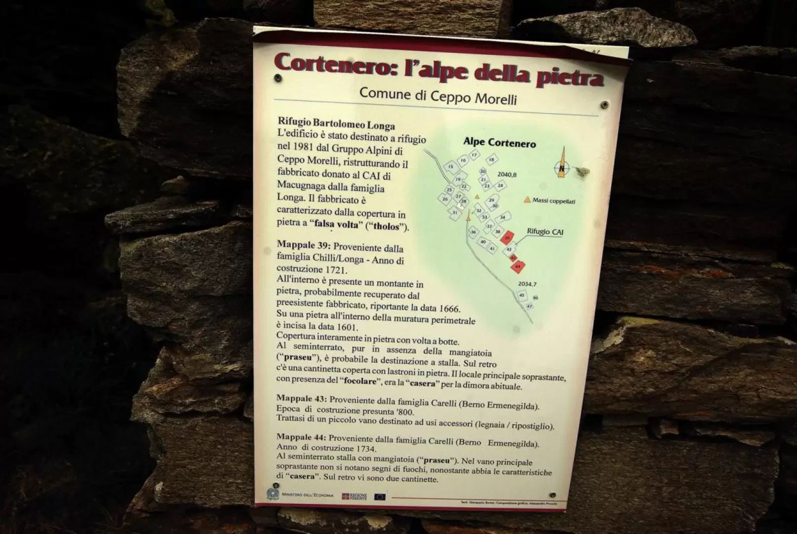
A hike to one of the lesser-known corners of the Anzasca Valley, leading to a distant mountain pasture that has long since been abandoned. The proximity of Monte Rosa and other much more scenic locations on its celebrated east face direct the interest of this excursion mainly to the ethnographic field. All the huts in the alpine pasture where the bivouac is located (a restored hut itself) present a unique construction characteristic in this geographical area populated by people of Walser origin: the roof covering - in the absence of timber and in abundance of rock - is a dry-stone barrel vault that supports itself with its own weight. The botanical aspect is also remarkable, for the unusual extension of the roofing with rhododendrons and dwarf juniper.
Description
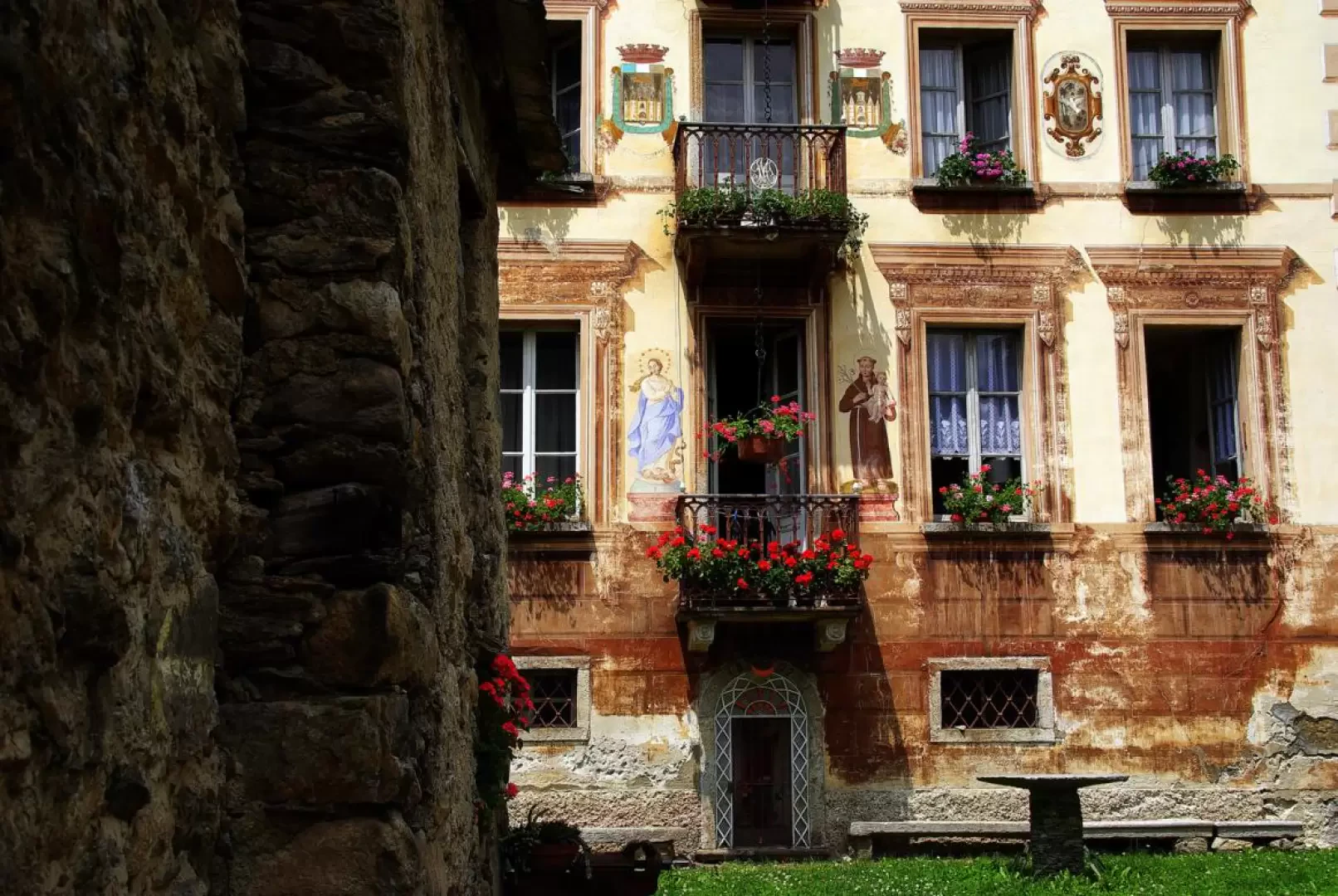
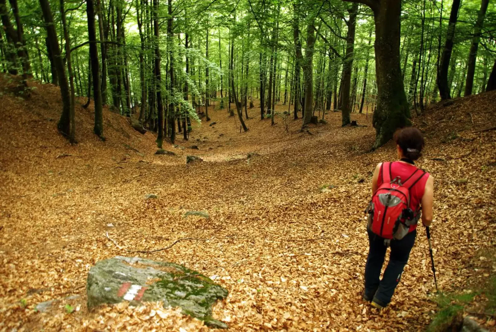
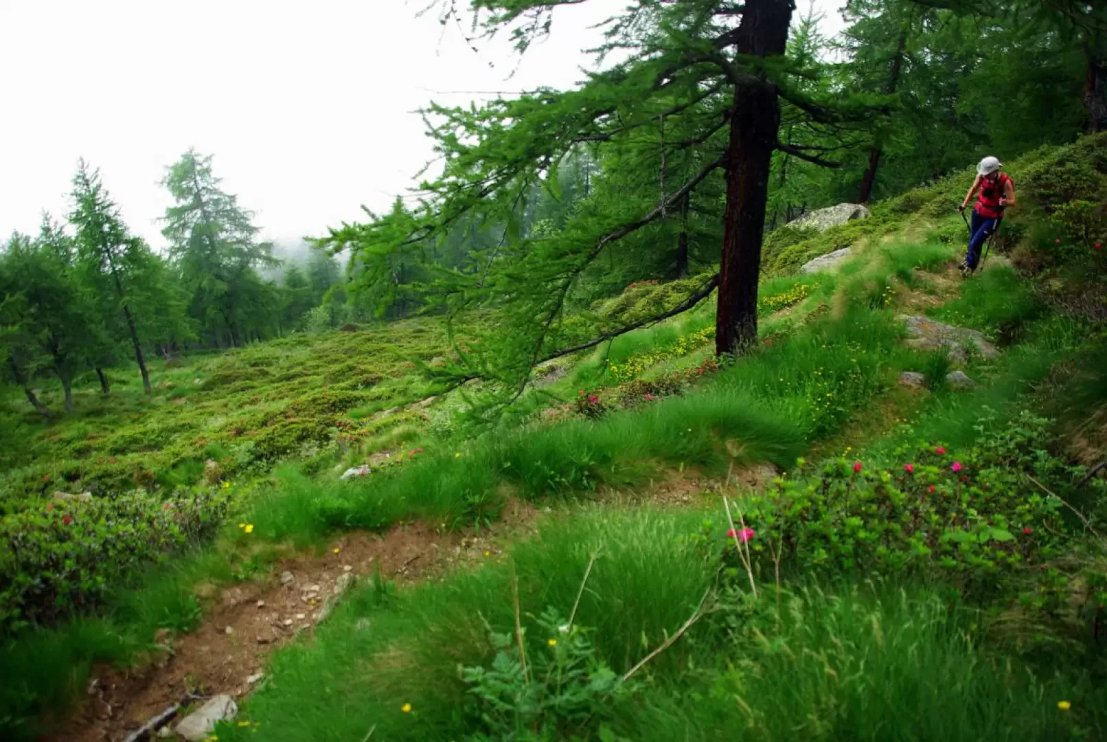
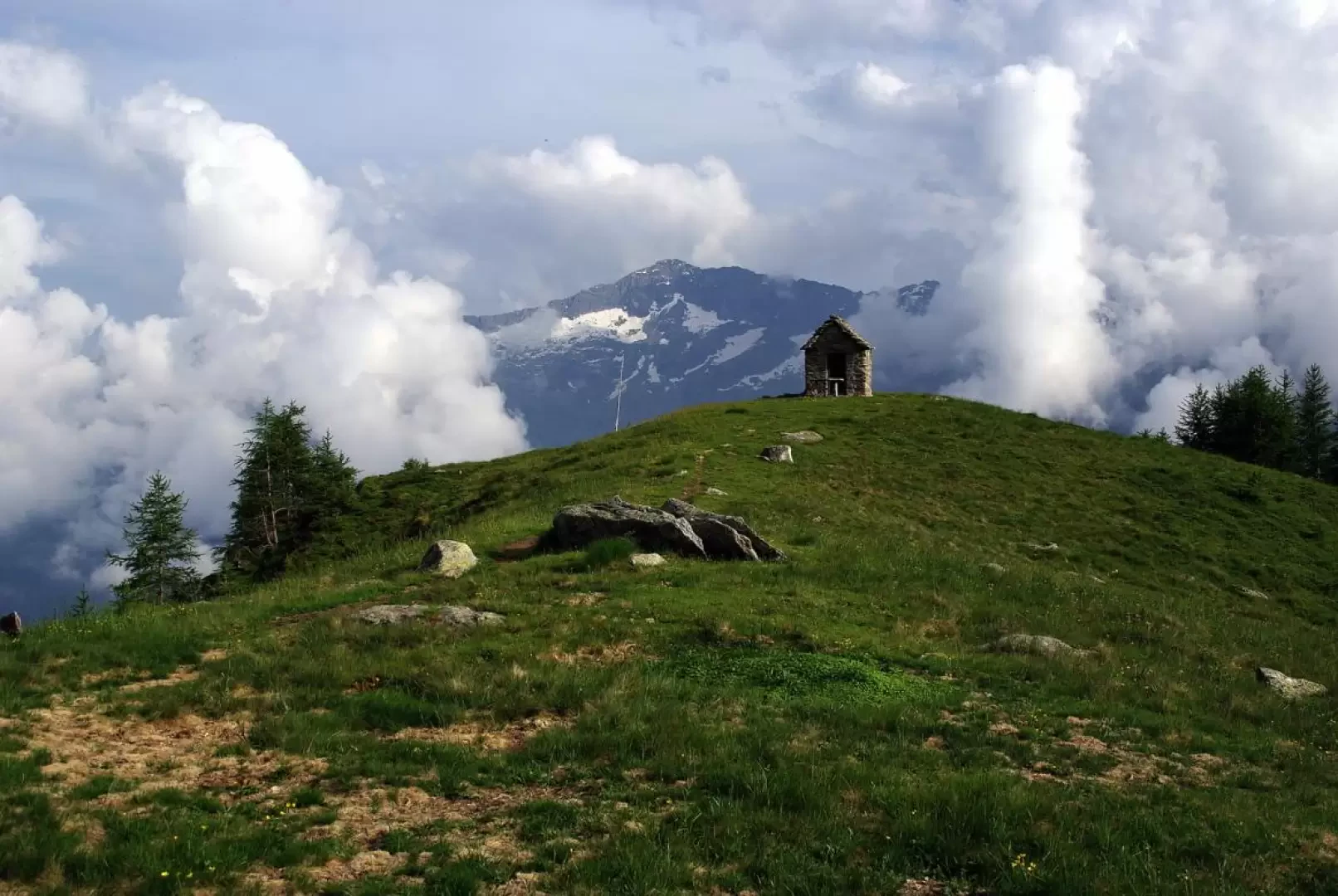
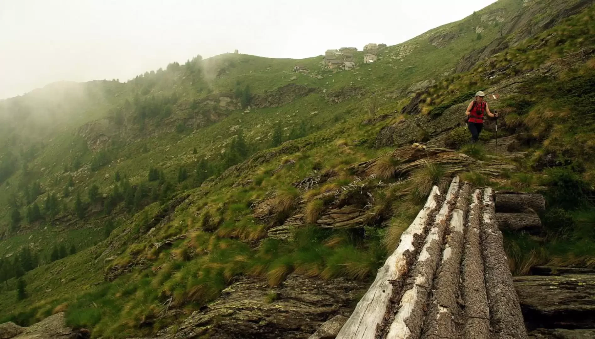
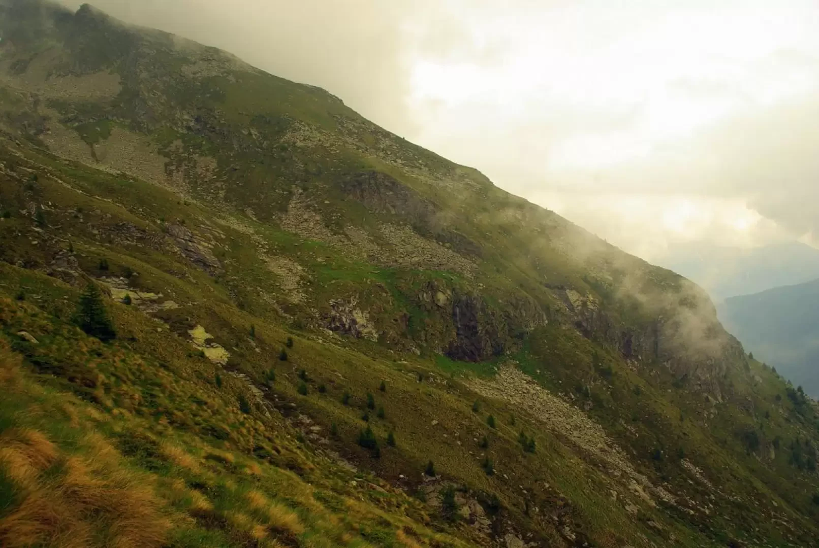
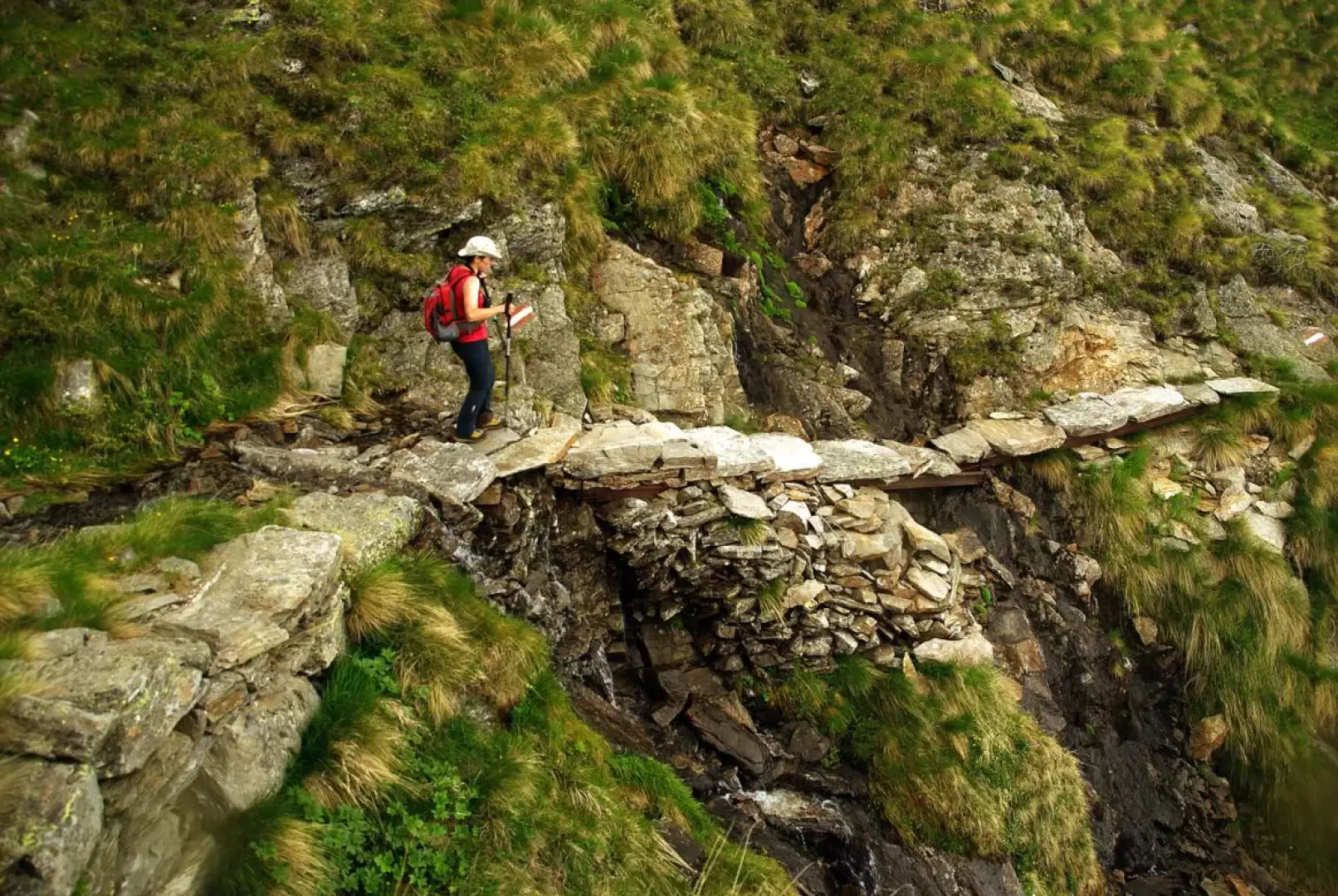
From the square in Mondelli 1181m, following the ever-present signs in paint, cross the small village on paving stones (the "House of Mirrors" building is noteworthy) until you find yourself - after an oratory - on a mule track through the meadows. You soon reach a fork in the road, where you take the right-hand path that begins a long, steady climb through a beech forest. After a series of short hairpin bends through a wooded gully, we exit to the left and, after an ascending traverse, come out among the gorse at the few huts of Alpe Motto 1548m. Continue again among the trees (the beeches diminish and the larches increase) to reach a series of steep communicating clearings: very characteristic is the complete covering of the slope first by dwarf juniper and then - with a brief mixed transition - by rhododendron. Abruptly, the trail flattens out and reaches a grassy ridge: to the left the renovated huts of Alpe Colla 2001m and to the right a small isolated chapel with a rustic altar outside 1997m. After crossing the cluster of dwellings on the descent, a long traverse up and down in an easterly direction crosses some secondary valleys with streams and small waterfalls to reach the camouflaged Alpe Cortenero 2036m, built at the base of a boulder flow and well integrated into their surroundings: one of the huts, donated in 1981 to the CAI Macugnaga, has been adapted as a small bivouac.
Return along the outward route.
Photo gallery
Comments (0)
Sign in to leave a comment