Balcony on Lake Tovel


Edited by:
Maurizio Loconti
Updated at: 25/05/2026
Access
A narrow, interminable carriageway climbs from Cunevo up the mountain for several kilometres to a large parking area.
Introduction
Route in Val di Non starting from Malga Arza, 1514 m.
Description
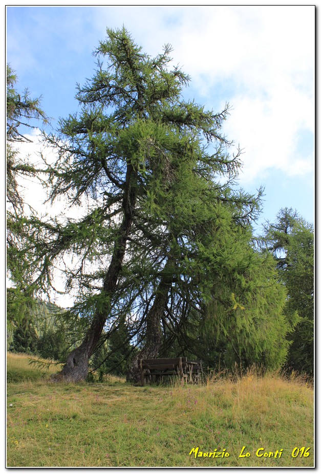
0h00' On foot, you pass the mountain pasture with several fire points and benches, climbing up into the forest. At a signposted fork, keep to the right (left is the return), with an immediately somewhat steep section. It is an easy walk, and the path ends in the pastureland of the Malga Termoncello (1856m).
1h30' In the area there is a viewpoint with a breathtaking view of Lake Tovel: you climb up from a votive pillar near the 2 buildings. From there you turn left, looking first for a point of maximum elevation and then for a gap in the vegetation, until you find, in truth in not too many minutes, the natural balcony (there is a panel of the park authority, but NO indication to identify the place). A famous body of water that turned red until the 1960s, the lake lies about 700m below, at an altitude of 1178m. Afterwards, we descend the pastureland again, taking care not to be misled by the wide track to the left, but cutting off to the right (signpost distant and barely visible). You cross a silent wood and arrive at Malga Loverdina (1771m), with beautiful views over the entrance to the Val di Non.
1h50' You start off again and in 20' you will find a forest road, where you should pay attention to the somewhat hidden signs, keeping to the left and leaving it almost immediately. It takes 35' to reach the Malga d'Arza and the nearby car park.
If you wish, here is the pdf photo file, with a little more information:
http://cralgalliera.altervista.org/Flgd/Trentino016L.pdf
... and also a single shot:
http://cralgalliera.altervista.org/Flgd/1606FL1DaMalgaArza.jpg
http://www.cralgalliera.altervista.org/anno2022.htm
http://www.cralgalliera.altervista.org/altre2022.htm
NB: in the case of an excursion, always check with FIE, Cai, any park authority or other institutions, pro loco, etc., that there have been no changes that have increased the difficulties! No liability is accepted. This text is purely indicative and not exhaustive.
Info Hiking Section Cral Galliera: http://www.cralgalliera.altervista.org/esc.htm
trips 2022 at the link: http://www.cralgalliera.altervista.org/gite022.pdf
General Information
Signposting: SAT
Type of route:circular
Recommended period: June, July, August, September, October
Exposure to the sun:East
Objective Danger:none
Exposed Trails:none
Useful Equipment:normal daily hiking gear
Water:not detected
Comments (0)
Sign in to leave a comment