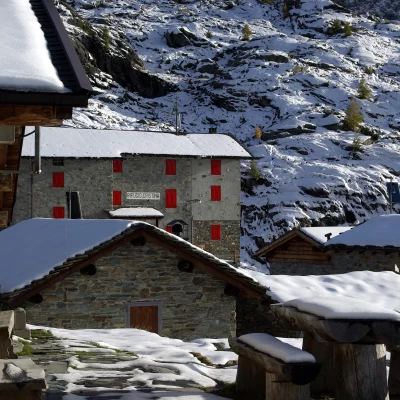
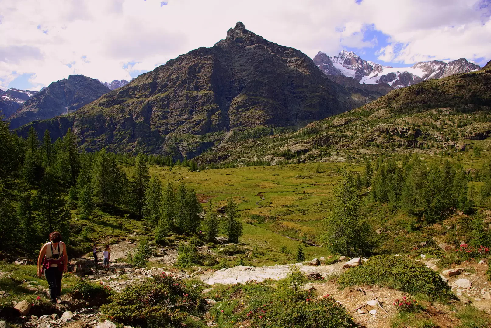
Alpe Prabello, from Campo Moro
Access
From Milan to Sondrio along the state roads and ; at the roundabout at the entrance to the town turn left towards Valmalenco. Drive along the entire provincial road to Campo Franscia: here continue on the municipal road to the ENEL dams. Shortly after exiting the second tunnel you will find parking in a large road widening (hiking signposts)
.Introduction
The shortest route to a classic hiking destination in the upper Valmalenco. The destination can be a restful walk to the famous Rifugio Cristina or just a stop on the way for various hikes in the area. It is a stage stop on the Alta Via della Valmalenco.
Description
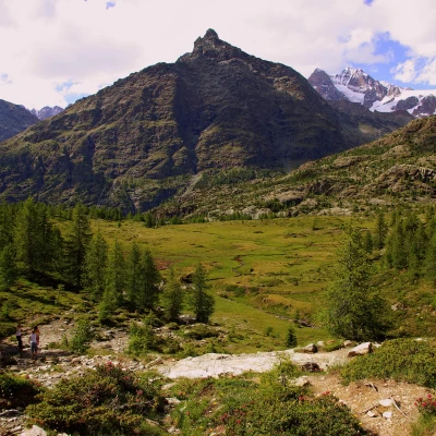
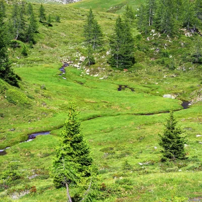
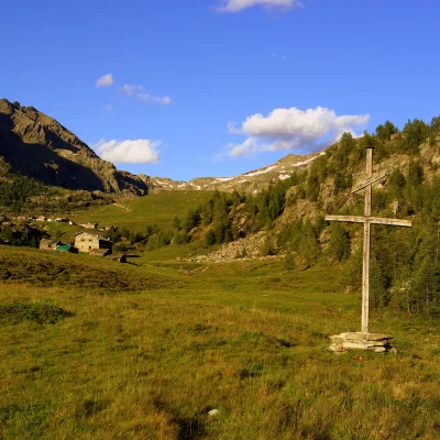
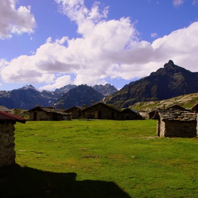
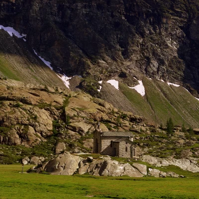
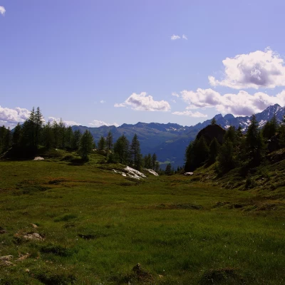
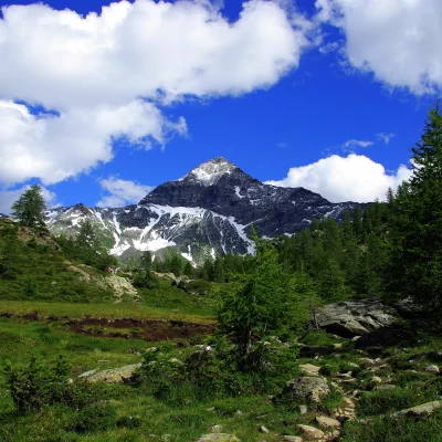
From the 1950m esplanade (rather crowded in summer), following the signs, go up the initially asphalted forest track that leads towards Alpe Campagneda; after a bar that prevents unauthorised persons from passing through, the track winds its way through a beautiful larch wood - possible shortcuts -. Suddenly the wood ends and we come out onto the pastureland esplanade of Alpe Campascio di Caspoggio; being careful, we leave the white track for a small path on the right that, near some stables, descends to cross a stream. On the other bank, you begin to climb up a grassy little valley that quickly leads to a wetland area with marshy lakes and peat bogs (interesting flora with eriophoras); on the level between wet pastures and smooth slabs of serpentine rock, you return to meet the carriage track. We follow it to the right and, after a short uphill stretch, arrive at the beautiful esplanade of Alpe Prabello 2287 m. Among the small huts, the building - in a somewhat elevated position - of the Cristina hut and the characteristic little church on the opposite edge of the alpine pasture stand out. Alpe Prabello is dominated by the pyramidal mass of the Pizzo Scalino, directly above, and closes its western horizon on the sombre profile of the north face of Monte Disgrazia.
Return along the outward route, or follow the long forest track in its entirety.
