Alpe di Pero, from San Bartolomeo


Edited by:
Marco Bonati
Updated at: 30/03/2026
Access
Follow the 'Regina' state road to Gera Lario; at the bridge over the San Vincenzo stream, turn off in the direction of Montemezzo. The road, always asphalted, becomes steep and climbs up the wooded slope with long traverses; at every fork, always well indicated, you must follow the direction for San Bartolomeo. The road, which is open to public traffic, ends at the little church. There is a parking area in a very scenic grassy widening, near a trampoline for paragliders.
.Introduction
Description
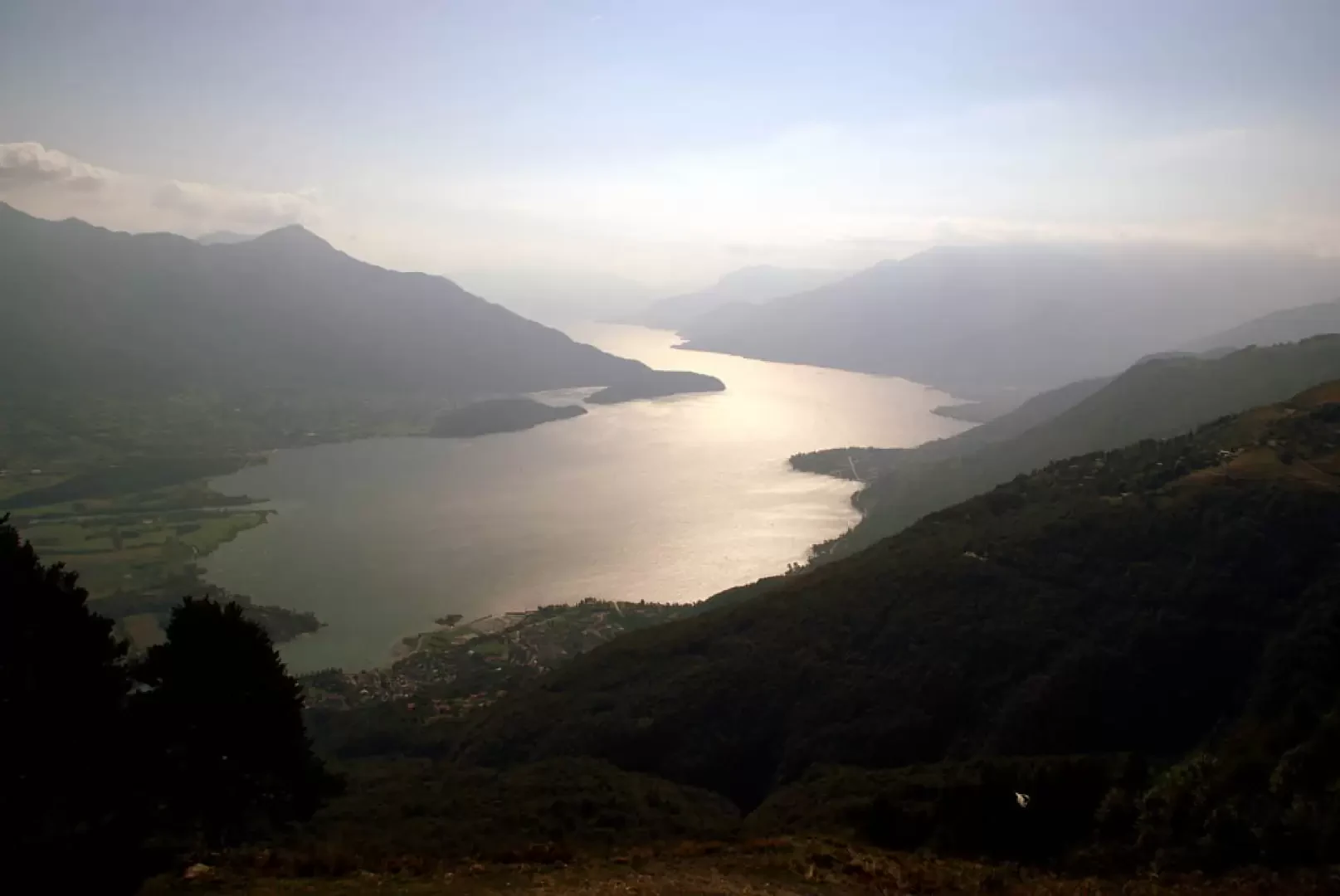
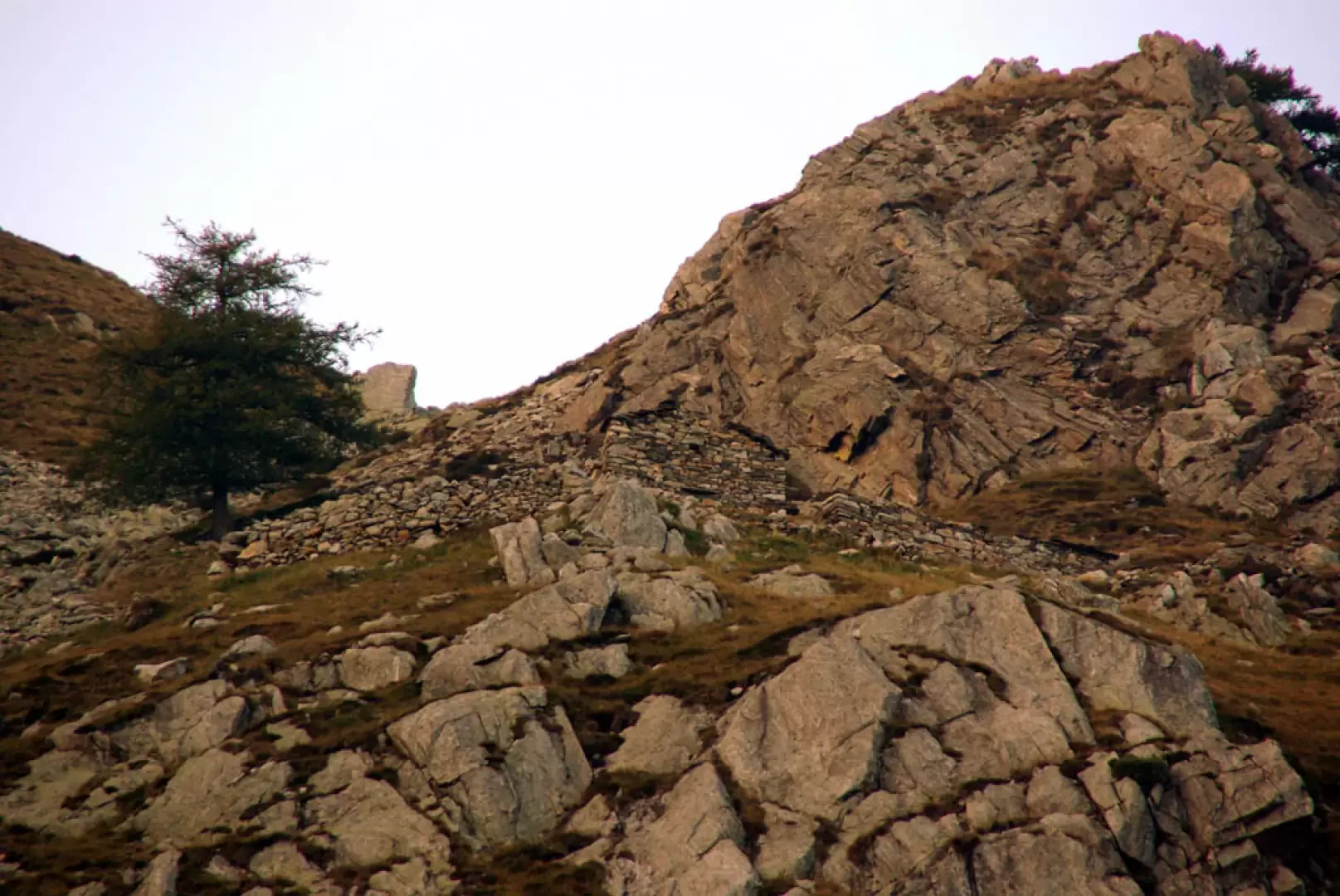
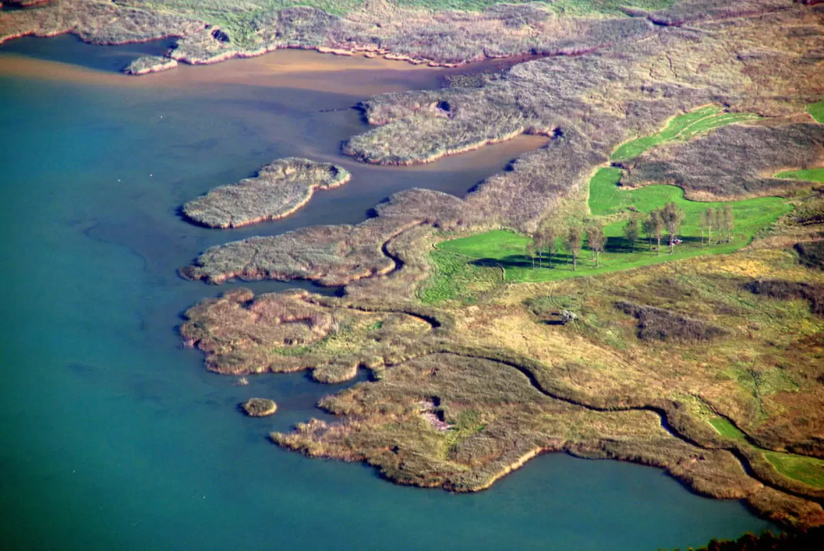
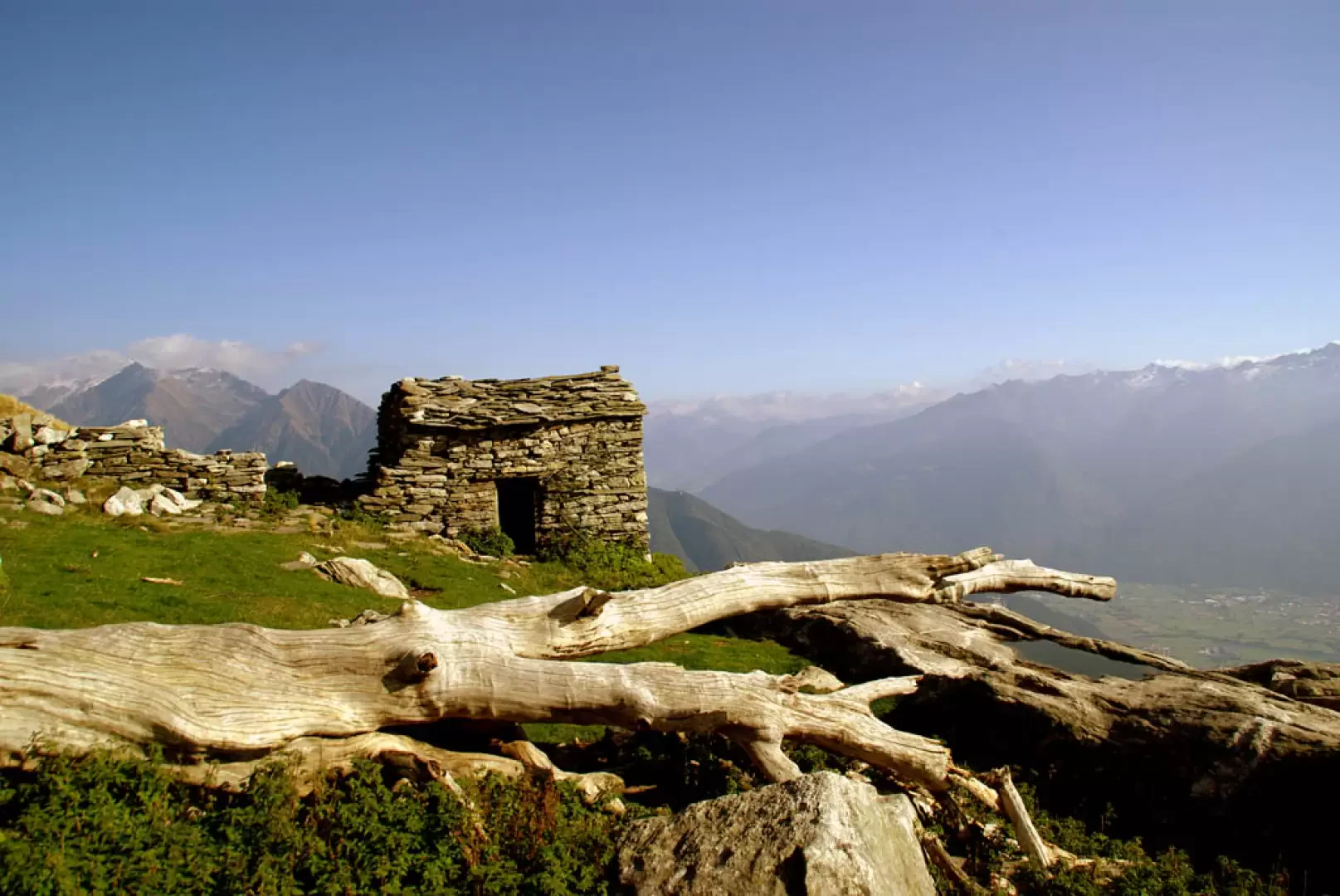
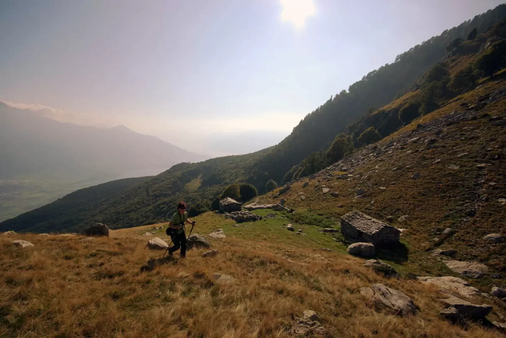
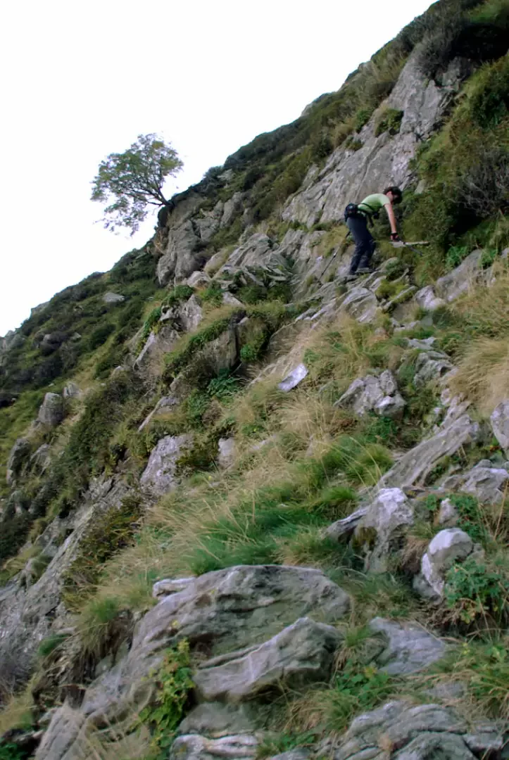
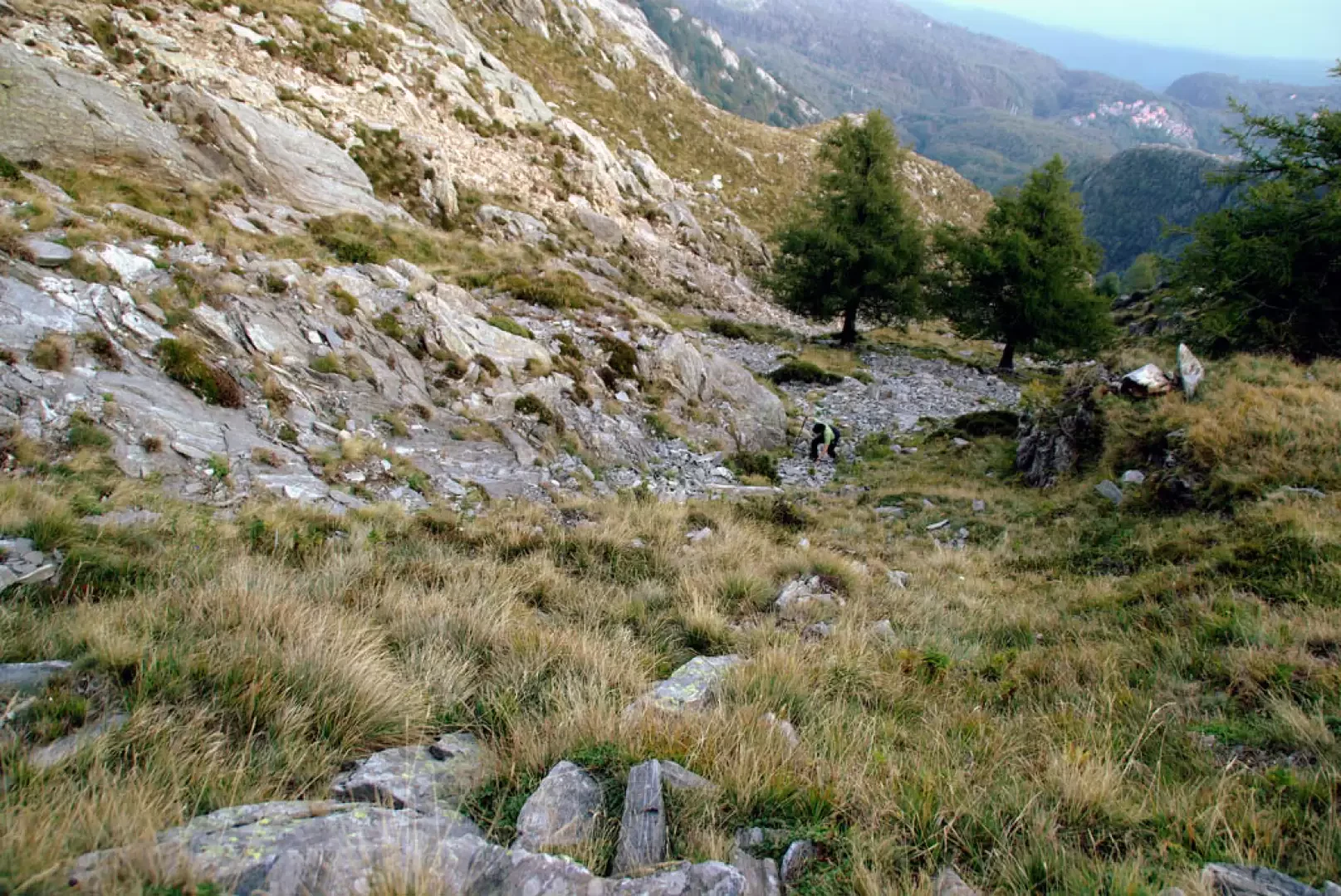
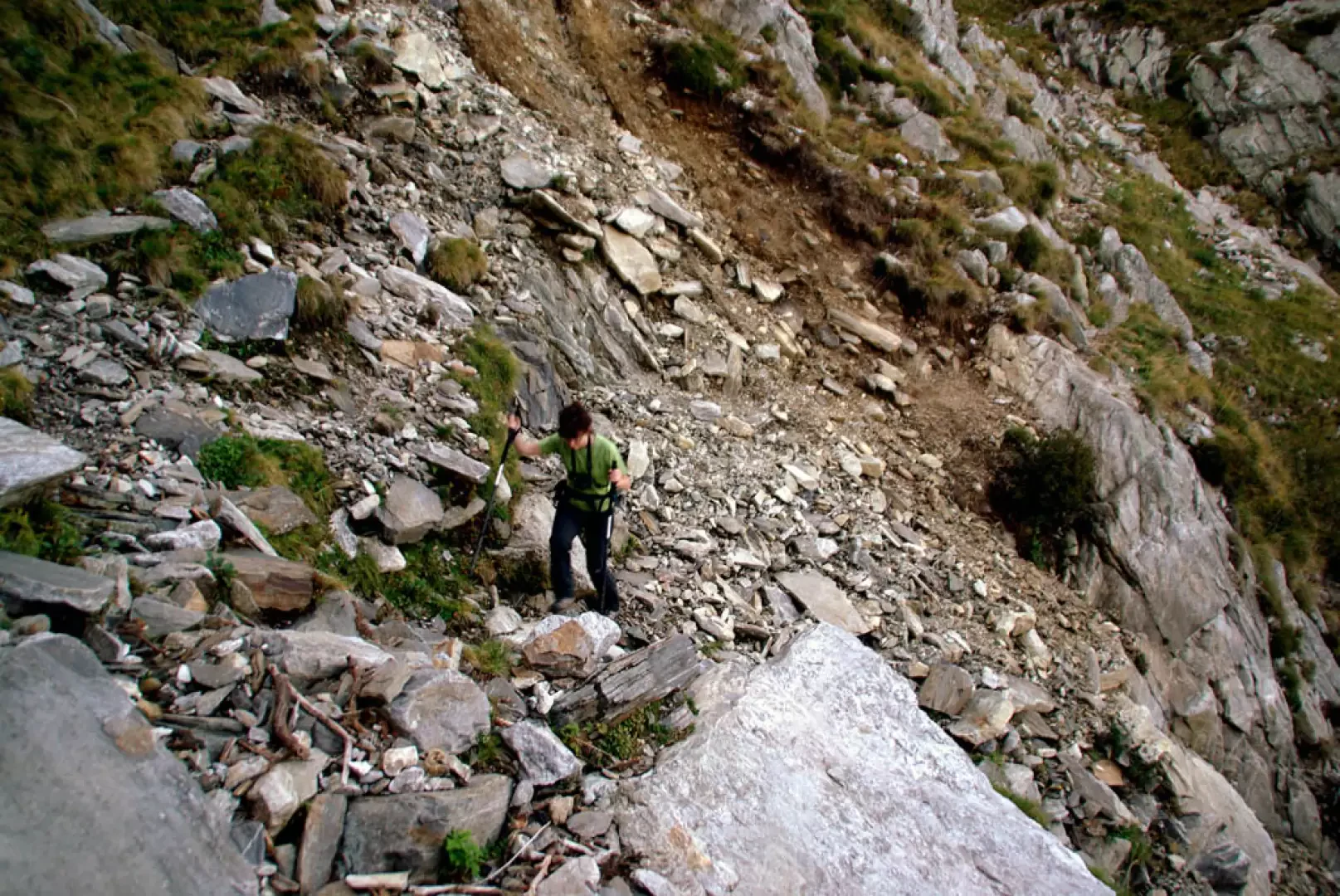
From San Bartolomeo, 1204m, continue along the road, which has become unpaved and gradually climbs in bends through the beautiful pine forest. After a slight descent, take the forest track to the right for Alpe Godone; the track climbs with a few bends through the pine forest, which is now more sparse and stony. After one last bend, we arrive in the clearing of Alpe Godone 1425m; just above the highest hut begins the path that we must climb. The path, which is uneven due to the recent burying of an aqueduct, climbs in a single diagonal - very steep in places - towards a visible hut. It is, this hut, the first of a small group of ruins (Alpe Derschen 1530m) located in a suspended basin dominating the confluence of Valchiavenna and Valtellina, right on the vertical of the Mezzòla Lake marshes. If you look carefully towards the NNE, you will notice the remains of the Alpe di Pero - our destination - and it will be useful to memorise its location. From Alpe Derschen, climb up to a nearby grassy opening, from which - to the left - the trail begins. From here on, the terrain becomes more delicate and it can sometimes be useful to build yourself some orientation markers for the return journey. We proceed along the slope, always uphill, alternating rocky passages with traverses over steep gullies and on ledges leaning against piles of roots hanging over the void. Having reached firmer ground, we find ourselves below the vertical of the alp and begin to climb up a scree slope that shows no signs of passage; beyond this, all that remains is to climb up a gully of slippery grass: after about 80 metres of ascent, we cross a large path - abandoned - to be followed to the left. In a short time, you reach the uncovered buildings of Alpe di Pero 1750m approx. The return is by the outward path.
It might be interesting - if possible - to follow this last path in the opposite direction: according to the sheet 277 CNS "Roveredo" it should reach the ruins of Alpe Tamul and then - going up to Bocchetta Chiaro - lead to the circumnavigation of Monte Berlinghera.
Exposed Sections: From Alpe Derschen to Alpe di Pero
Photo gallery
Comments (0)
Sign in to leave a comment