The Chausettaz and Sort mountain pastures: a circular walk from Chanavey

Edited by:
Marcello Rossi
Updated at: 02/09/2026
Access
Road directions
After exiting the motorway toll booth at Aosta Ovest (Saint-Pierre), head north-east and take the junction for the (500m from the toll booth). Continue on the for 450m (950m), then at the roundabout turn left onto the and follow it for 4.3km (5.3km). At the next roundabout, take the first exit, staying on the for 550m (5.8km), then turn slightly right, staying on the for a further 850m (6.7km). Take the exit towards Introd/Rhêmes-Saint-Georges/Rhêmes-Notre-Dame/Valsavarenche (700m, 7.4km). At the roundabout, turn right onto the towards Valsavarenche and follow it for 1.1 km (8.5 km), then turn left to stay on the for 2.8 km (11.3 km). Keep to the right, heading towards the (97m, 11.4km), and continue along the through the Rhêmes Valley for 13.7km (25.1km), travelling up the valley to Chanavey. Turn left twice over the final 29 metres to reach your destination.
Car park
There is a free 🅿️ car park in Chanavey.
Access by public transport
Chanavey is served by the 531 Villeneuve/Rhêmes–Notre-Dame bus route, operated by Arriva Italia. For timetables and updates, please visit the official Arriva Italia website.
Distance and journey time
🕒 journey time: 35 minutes
📏 distance: 25.1 km
GPS navigation
Important information
The directions provided were verified on the date the route was mapped. Before setting off, we recommend checking for any changes to the route or road conditions. For up-to-date information, please consult Google Maps or Apple Maps.
Introduction
Description
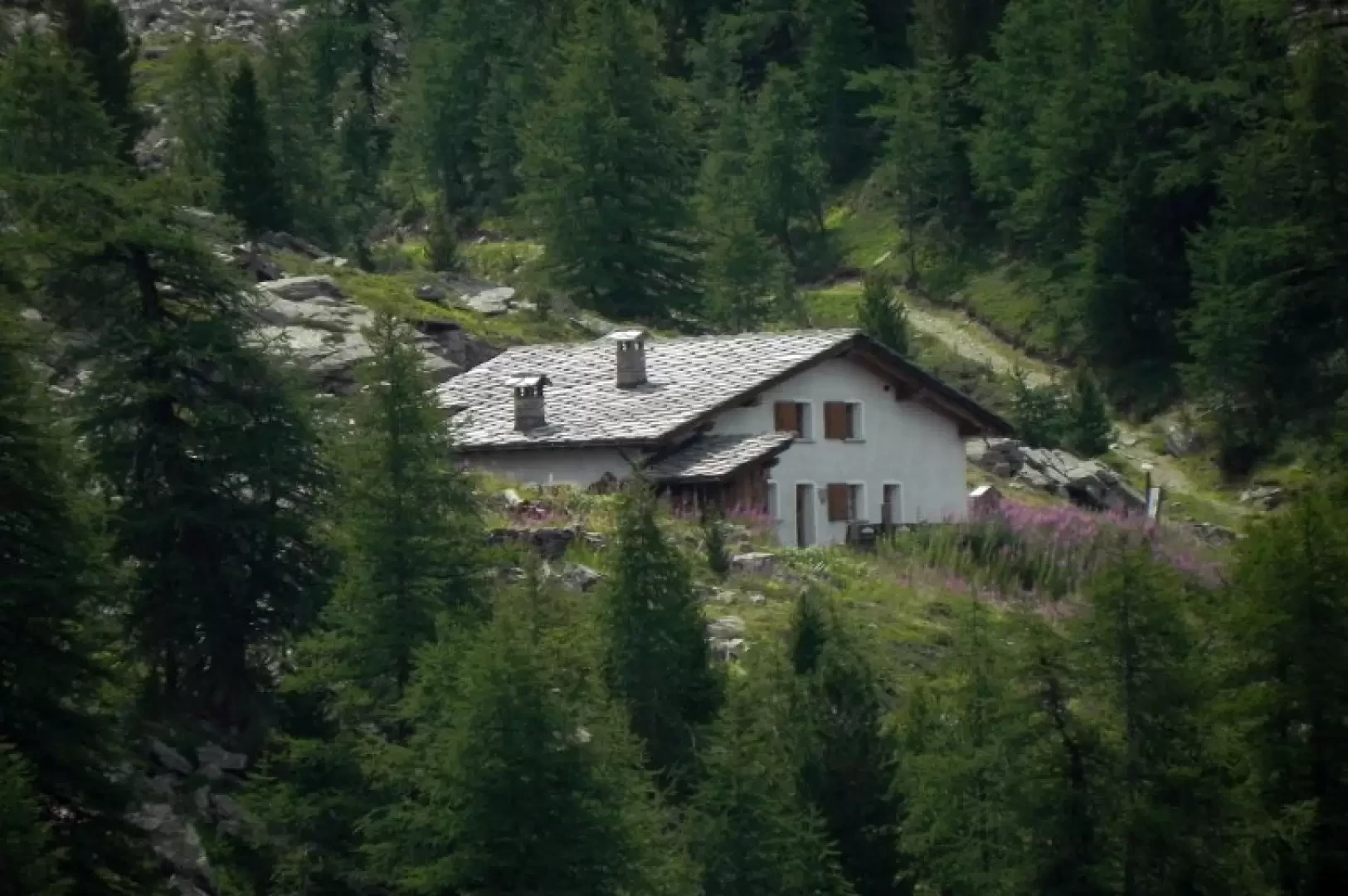
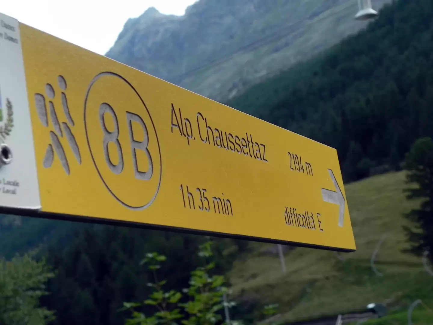
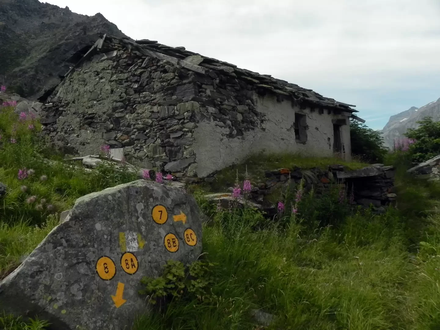
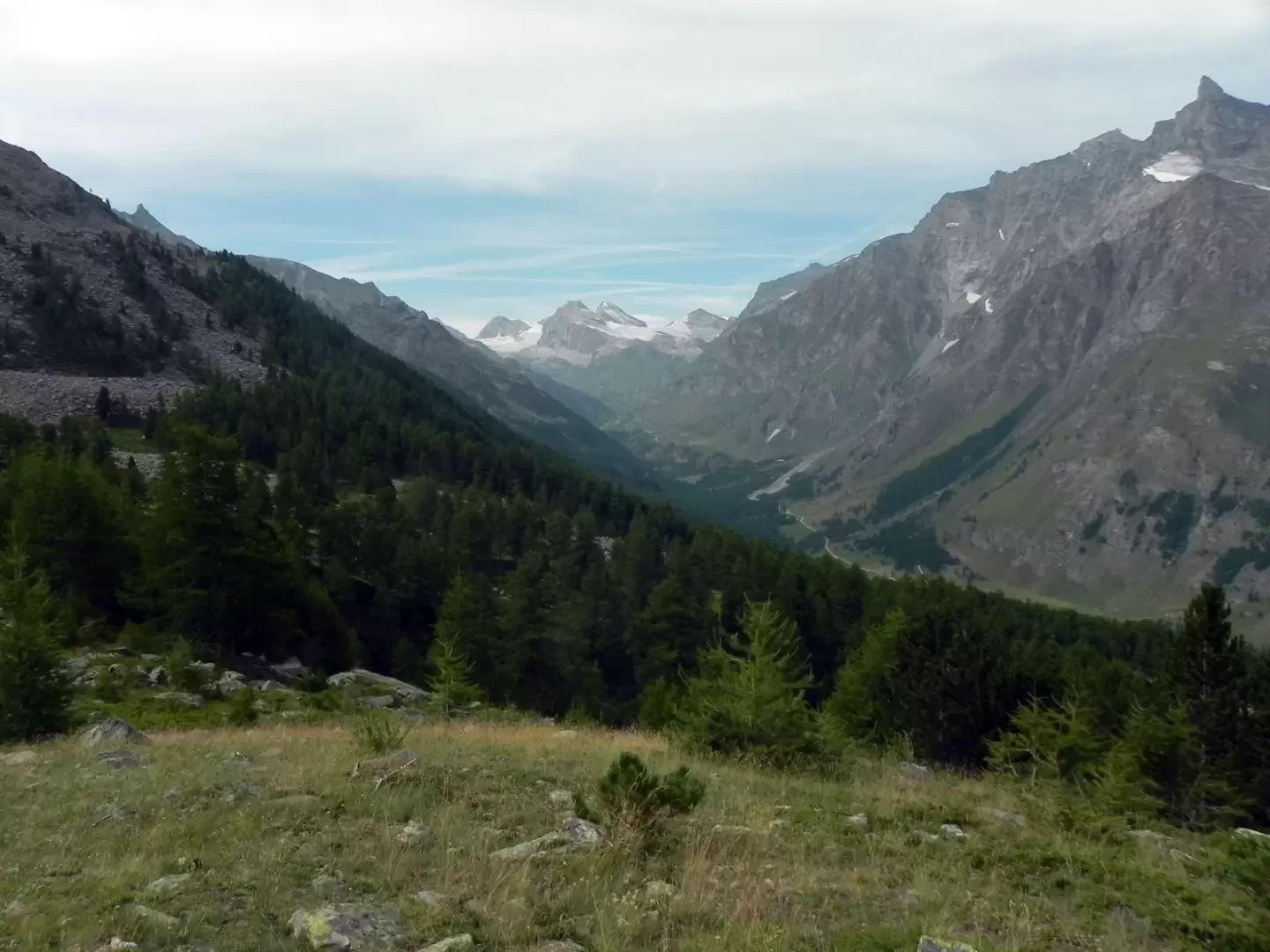
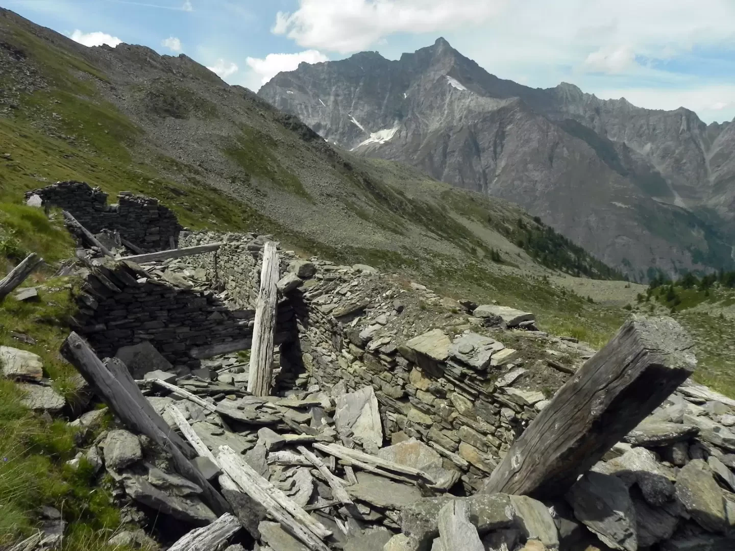
At the Chanevey car park, next to the chairlift’s top station, take the ski run which begins to climb steeply through the woods. During the ascent, take care to spot the markers and arrows indicating the start of the path, which branches off to your left. The path initially continues to climb alongside the ski run, before veering away and becoming less steep. Continue climbing until, upon emerging from the woods, the path bends sharply to the left, coming within sight of the Chausettaz mountain pasture; You reach the building and, just before it, you’ll find the junction with path 7; turn right and follow the traverse along a gentle slope with slight inclines until you reach the Sort hut. Pass in front of the building and turn left, beginning to make your way into the Sort valley; once past a wooded area, you enter the desolate valley and, following the path, approach the watershed with the Entrelor valley, which you ascend along the clearly marked path until you reach the ruins of the Sort mountain pasture.
At the Chanevey car park, next to the chairlift’s top station, take the ski run which begins to climb steeply through the woods. During the ascent, take care to spot the markings and arrows indicating the start of the path which branches off to your left. The path initially continues to climb parallel to the ski run, before veering away and becoming less steep. Continue climbing until, upon emerging from the woods, the path turns sharply to the left, bringing the Chausettaz mountain pasture into view. You reach the building and, just before it, you’ll find the junction with trail 7; turn right and follow the traverse along a gently sloping, slightly ascending path until you reach the Sort hut. Pass in front of the building and turn left, beginning to make your way into the Sort valley; once past a wooded area, you enter the desolate valley and, following the path, approach the watershed with the Entrelor valley, which you ascend along the clearly marked path until you reach the ruins of the Sort mountain pasture.Photo gallery
Comments (0)
Sign in to leave a comment