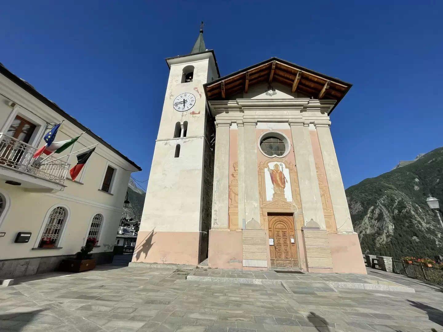
Doues

Introduction
A small mid-mountain village in the Valpelline, 15 kilometres from Aosta. Its place name seems to derive from the fact that the ancient road leading to the Swiss Valais forked at Doues: one branch of the road climbed to the Fenêtre Durand pass, while the other, more famous and busier branch went towards the village of Allein and from there to the Great St Bernard Pass.Description
Small mid-mountain village, located in Valpelline, 15 kilometres from Aosta. Its place name seems to derive from the fact that the ancient road leading to the Swiss Valais forked at Doues: one branch of the road climbed up to the Fenêtre Durand pass, while the other, more famous and busier branch led to the village of Allein and from there to the Great St Bernard Pass.
In the Middle Ages, Doues, like much of Valpelline, was a fief of the De Gignod, De La Porte d'Aoste and Dochan families, and then passed from lineage to lineage until the final enfranchisement in the 18th century.
The municipality has remained substantially linked to the agro-pastoral economy of the past, even if there is no lack of tourist infrastructure, oriented above all towards the summer season, when the beauty of the places and the tranquillity of the pastures can be fully appreciated.
Information sheet
Area: 16.25 square km
Altitude: 1176m
Maximum elevation: Mont Chenaille (3147m)
Number of inhabitants: 474
Name in dialect:
Inhabitant name:
Patron Saint:
Internet site:
Webcam:
Neighbouring municipalities: Allein, Etroubles, Gignod,Ollomont, Roisan, Valpelline
Villages and hamlets: Aillan, Bovier, Champ-Mort, Champsavinal, Chanet, Châtellair, Chez-Croux, Condemine, Coudrey, Coudrey Dessus, Crêtes, Dialley, Haut-Prabas, Javiod, La Bioulaz, La Cerise, La Chenal, La Cleyvaz, La Coud, La Crétaz, La Perrouaz, Lusey, Meylan, Orbaney, Planavilla, Plan d'Aillan, Plataz, Ploutre, Posseil, Prabas, Torrent
Alpeggiations:
Information
Superficie: 16,25 kmq
Altitudine: 1176m
Maggior elevazione: Mont Chenaille (3147m)
Numero abitanti: 474
Nome in dialetto:
Nome abitanti:
Santo Patrono:
Sito internet:
Webcam:
Comuni confinanti: Allein, Etroubles, Gignod,Ollomont, Roisan, Valpelline
Villaggi e frazioni: Aillan, Bovier, Champ-Mort, Champsavinal, Chanet, Châtellair, Chez-Croux, Condemine, Coudrey, Coudrey Dessus, Crêtes, Dialley, Haut-Prabas, Javiod, La Bioulaz, La Cerise, La Chenal, La Cleyvaz, La Coud, La Crétaz, La Perrouaz, Lusey, Meylan, Orbaney, Planavilla, Plan d'Aillan, Plataz, Ploutre, Posseil, Prabas, Torrent
Alpeggi: